 |
| Brighton Station |
With the extraordinarily wet
weather we have had this winter we have had to turn our attention to town and
city walks to avoid the sea of mud and floodwater that appears to be enveloping
our countryside. After our successful
little tours of Lewes and Horsham it seemed to make sense to have a closer look
at Brighton.
The biggest population centre in Sussex seems to be missing a trick,
for there does not seem to be a definitive City Trail for tourists to see the
main sites. I did find one that
concerned itself with architecture and so as time was short I decided that we
would give that one a go.
 |
| Trafalgar Terrace |
We started the trail at Brighton
Station. This is surely the finest
railway building in the whole of Sussex but is very maintenance
hungry and seems to be constantly being painted and tidied up. However its 2013/14 presentation seems to be
far less cluttered than previously. The
concourse is now largely free of shopping facilities, although a large
Christmas tree did stand in the way on the day we arrived. The station with its marvellous trainshed was
built into the side of the hill in 1841 high above what is now the city centre.
 |
| The Pond |
Our route took us down underneath
the frontage of the station along the curious Trafalgar Street, which once presumably
looked less incongruous without a large station plonked over the top of
it? The scene in Trafalgar Street is now rather different
from that which would have greeted us 40 years ago when the land adjacent to
Brighton Station was occupied by a large locomotive works, where the London
Brighton and South Coast Railway (and subsequent operators) built most of their
locomotives from Victorian times until the 1960s. Now this is only a distant memory as the loco
works has long since been demolished and replaced by shiny new apartments,
shops and hotels. The whole area has a
new modern lease of life that is completely at odds with its former use.
 |
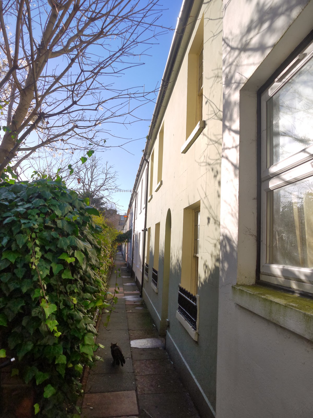
| Queens Road |
Our onward route took us along
some twittens to North Road. A ‘twitten’ is a Sussex
word for an alley and the two that we walked along were the survivors of a long
since disappeared environment in this part of Brighton. Apparently the frontage of the houses would
once have looked out over an extensive area of market gardens that are now long
disappeared under more housing and commercial development. The houses themselves look like very
desirable places to live, although the lack of parking may well be a problem
for many.
 |
| St Nicholas Church |
At the end of the twittens we
came out opposite the Brighthelm Centre, a community and church building that I
remember being built in the late 1980s.
I cannot claim to be a fan but the carving on the front of the five loaves
and two fishes parable is a nice touch, something rather different to see in a
modern building. The back of the church
is still occupied by a graveyard of sorts, although most of the headstones have
been moved to the side of the green space that should act as a bit of a green
lung for the city. Sadly it is a bit of
a honey pot for street drinkers and even on this cold and frosty day there were
a couple in evidence so we didn’t hang around long.
 |
| Wykeham Terrace |
Our route took us up the hill
through an old part of Brighton that I have
always loved. The buildings here are
quite grand looking and the streets were all laid out at a similar time after
the arrival of the railway. It has an
air of class about the area and I am sure that house prices reflect it now. At the top of the hill we passed the parish church of St
Nicholas that gleamed in the low winter
sun. The voices from the congregation
singing hymns inside, which added a lovely atmosphere to the still winter’s
day. The church itself is perhaps
unsurprisingly the oldest in Brighton but what
is surprising is that it was not built in the heart of what was the original
fishing village that was to become the city.
One school of thought is that the church also acted as a lookout in case
of enemy attack from the sea.
 |
| Brighton Clock Tower |
Further down the hill we passed
by a very eye catching building known as Wykeham Terrace. This was originally built by an order of Nuns
to take care of ‘fallen women’. One
story has it that one of the residents was taken in after being acquitted of
putting her baby down the toilet. On her
death bed she admitted her guilt.
 |
| Rag Freak |
By now lunchtime was upon us and
we dived into Churchill Square
for a bite to eat. This mecca of
shopping is very different from the one I remember growing up. That incarnation was an outdoor affair borne
of 1960s town planning. It was intended
to look rather continental with wide open spaces and public art, but by the
1990s it looks like an ageing concrete monstrosity and was given a complete
overhaul, turning it into a more up to date looking indoor shopping mall. I can’t help thinking that it is starting to
look its age once again – how long until the next refurbishment?
 |
| Herbie In The Lanes |
Feeling refreshed we headed down
through the Lanes towards the seafront.
It is amazing to think that this iconic part of the Brighton
landscape was almost bulldozed in the 1960s and only survived due to a public
outcry. The first lane that we headed
down was Duke’s Lane. This is actually a
more modern addition as although it is set up to look and feel like the main
part of the Lanes it was actually laid out in the 1980s from an earlier
development. The atmosphere and types of
shop that occupy Duke’s Lane make it almost indistinguishable from the
remaining area now – a testament to how the developers envisaged the future.
 |
| Brighton Town Hall |
During the latter half of the
1980s I worked in this area of Brighton and
The Lanes were my lunchtime entertainment.
Although many of the businesses have changed since then, the nature of
the businesses have not really changed and it is still the same mix of
jewellery shops, fashion boutiques, knickknack parlours and little cafes. It may be a bit twee but there are few better
places to browse even for non-shoppers like me!
 |
| East Street |
At the other end of the Lanes we
passed by the very grand looking Brighton
Town Hall. As a child I thought the place was a royal
palace and as a civic building it is quite the statement. It was built in 1832 and was supposed to be
in the shape of a Greek Cross. However,
the developers couldn’t buy the land to the south of the building and so it
ended up as a T shape instead!
 |
| Brighton Pier |
Just along from the Town Hall is
probably the dingiest and smelliest tourist draw in Brighton,
the alley that is often known as Mod Alley, after its appearance in the film
Quadrophenia where two lovers end up after running away from the police. Its appearance hasn’t improved since the
shooting of the film.
 |
| Brighton Wheel |
Our route took us down East Street and
past the old cinema where I spent a lot of my youth. Sadly it no longer functions as a cinema but
the building is still intact, operating now as an all-you-can-eat Chinese
buffet restaurant. Ho hum. The rest of East Street has definitely gone upmarket
in recent years with many of the grungier looking shops now turned into
fashionable eateries to cater for just about every taste. The bus station around the corner at Pool Valley
has also improved somewhat in recent years although it is far from the best welcome
to a city if you arrive by coach.
Service buses have long since ceased using it, although when I was a boy
all the busies terminated here and the place was alive with activity.
 |
| Brighton Pavilion |
Across the road from the bus
station is one of the main draws in the south, Brighton Pier (or more properly
Palace Pier). Allegedly it is the most
visited free attraction in the whole of the UK, which is some boast! It was buzzing with people as we passed, with
many more taking a ride on the adjacent big wheel that was installed in recent
years. By now time was running low for
us, which was a shame. I think I would
have liked to linger a little longer but on we went, past the historic aquarium
and back around Steine
Gardens across to the
Royal Pavilion.
 |
| George IV |
Sadly views of the Pavilion were
obscured by the ice rink that was installed in front of it for the winter
season. However, it is still an
astonishing building and so unexpected in the heart of a seaside resort. It’s George IV’s idea of what an Indian Palace
should look like and all the turrets and minarets were added to what was
essentially a grand house that already existed and forms part of the
structure. The rather fat playboy King
has his own statue next door. He didn’t
do Brighton’s long term prospects any harm though – people have flocked here
ever since he popularised the place in the 1820s. His Royal successors snubbed Brighton though
and the Royal Pavilion was soon offloaded.
 |
| Duke's Legs |
Our journey back to the Railway
Station took us via what is called the North Laine area of Brighton, a vibrant
shopping area full of interesting shops selling second hand goods, unusual
clothing and the sort of trendy things that bring so many people to the area. The walk was a rather whistle stop affair but
it did remind me what a great place Brighton is to wander around. I think I might like to do a variation on
this trip on a summer’s evening but maybe with a slightly different route so as
to look at different stuff.


