|
| St Catherine's Viewpoint |
This 11km walk is also available from the tourism office in Rouen and allows you to escape from the city centre into the surrounding countryside and overlook the Seine at the end. Much like the other Rouen walk that we did this one starts at the Cathedral/ Tourist Office. I walked down the Rue St Romain and past the Joan of Arc museum and across the road and past the Saint Maclou Church. I was lucky enough to have picked an excellent day to do the walk - we were really lucky with plenty of sunshine during our week's stay. I chose a time late in the afternoon to go out and as I passed by the market and restaurants and cafes there were plenty of people about, either packing up the stalls for the day or sitting outside on the pavement. In fact it was surprising how busy the cafes were considering it was relatively early in the week. I couldn't imagine scenes like this in Britain.
 |
| St MacLou Church |
As I headed away from the main churches the historic centre petered out and I walked along a street that was far more modern in character. At the far end of the street I turned left and crossed the road where I walked briefly along a disused looking railway line that appeared to serve the port. Judging by the shiny rails it still gets used so I assume that it sees the odd working? The trains must look pretty big in this environment though - the line was almost like a tramway through the streets. As the line diverged to the right I kept ahead through the grounds of the local hospital and then under the bridge of a busy main road. I turned right past the fire station and found myself in the grounds of a sports stadium. This wasn't the nicest stretch of walk it has to be said but bear with me - the last quarter of a mile or so was necessary for positioning. The onward stretch was far more enjoyable and rather surprising.
 |
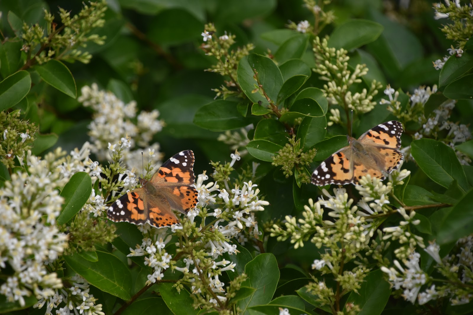
| Baseball |
I looped around the sports complex, where unusually baseball seemed to be a popular sport. I had no idea that the French played baseball but it certainly seemed popular at this club. As I looped around the sports pitches I came upon a narrow waterway that I took to be some form of canal. I learned later that it was more of an industrial river constructed to drive the machinery in the mills, mostly to manufacture food products and textiles. It is also possible to walk the entire length of the waterway although it is only about 3km in length. This section probably covers the highlights of the route. I was soon high above a community garden that looked well cared for although the produce in the plots was still some way from being ready for harvest. The path alongside the waterway was pretty busy with runners and cyclists and its leafy nature certainly lent itself to this kind of activity even on a hot sunny day.
 |
| Petite Eaux De Robec |
As with so many of these kinds of waterways there is a corridor of countryside that follows them that seems insulated by the surroundings. Even though it was still hemmed in by urban housing the tranquility of the towpath was very much like this. The only interruption was when a train clattered over the bridge that I soon passed under. Above me looked like a fairly complex railway between lines heading to Paris, Amiens and the local docks line that I had seen earlier. Not far beyond was a relic of the former industrial times, Le Moulins Des Dames De St Amand (The mill of the two ladies of St Amand). This former mill still has a working water wheel that is used for demonstrations of grinding corn. The rest of the building looks like it has been turned into upscale apartments.
 |
| Former Mill |
I really enjoyed this section of walk - it was easy to follow and the restoration of all the buildings had been done sensitively by keeping all the historic details even where in some cases the nature of the building's use had changed significantly. It was not just the mill I saw before but others further on. There was even a second with a water wheel although I am not sure it was still working in this instance. For a while the waterway took on the appearance of an industrial canal of more modern vintage as we passed by a rather concrete slab of a building. It wasn't industrial in this case although it resembled one - it was rather surprisingly a boxing gym.
 |
| Water Wheel |
The next mill has become a museum open mostly at weekends. There weren't any visitors when I passed by but there were a few blokes tinkering around and there was quite a lot of random stuff including a miniature steam locomotive parked in the front yard of the mill. I got a birds eye view of it courtesy of the height differential between mill and waterway path. I also had to switch sides here, crossing a small bridge and continuing on past some more vintage industrial buildings that looked as if they were still in use. I lost the waterway here as it disappeared behind another waterwheel never to be seen again. I continued along the road and turned right at the next junction where I was confronted with a rather unusual church, St Pierre in Carville. This church has two separate parts - a Gothic tower and another part that was built slightly away from the tower following a fire in 1562 during the Wars of Religion. Sadly the whole church is now closed due to the roof not being watertight. It looks rather sorry for itself - hopefully one day it might be restored.
 |
| Moulin St Gilles |
I crossed a very busy main road and headed through the village-like suburb of Carville. I suspect that it was once a separate settlement that has now been swallowed by greater Rouen. I passed underneath another railway viaduct and crossed over to leave the road briefly and walk up through some woods where I was to skirt around Chateau De Waddington. I have not been able to find out more about this place - I imagine it had something to do with the celebrated Waddington Family, Victorian industrialists who were born in France but educated in England and with English family. William Waddington won the boat race for Cambridge and in later life briefly became Prime Minister of France. I suspect this place was associated with his brother Richard, also a French parliamentarian, as a nearby street is named after him. The view of the castle was pretty fleeting, almost as mysterious as its history.
 |
| St Pierre Church in Carville |
I was soon back on the road and was now starting the climb to the viewpoint I would get later on. It was gentle at first but when I got to the top of the road and left the pavement it got steeper. It wasn't easy to find the onward path but eventually I located it between houses. Soon I was back in woodland and this continued right to the top of the hill. It wasn't that easy to navigate through the woods but essentially up here I was expected to stick to the edge of the housing estate where it met the woodland. In theory that went pretty well until I left the housing estate and had to cross the last stretch through the woods without the houses as my guide. I took a few wrong turns here, not helped by the fact that there had been quite a lot of clearance work up here and some paths I didn't recognise had appeared through what presumably was once just bushes. After a few wrong turns in the maze of paths I eventually found the right one that led me to the viewpoint of St Catherine which overlooks the ancient city of Rouen and the River Seine running through it.
 |
| Chateau De Waddington |
The viewpoint is surprisingly good considering the modest height of it. I sound found as I approached the main viewing area that it is a very popular place for picnics, with many families up here. I have to say though that I looked like the only one that had come on foot - everyone else looked a lot less sweaty and tired than me. I felt pretty satisfied that I had come on fot though - somehow a view is always better for the effort you put into it.
 |
| Entering The Woods |
I dropped down the hill via what seemed a short zig-zag path past a large cemetery that I would rather have liked a closer look at. When I got to the bottom of the hill I passed underneath the main road and entered the city centre. For reasons that escaped me the map suggested I went via a housing estate that didn't seem to have much merit other than a look at a very small garden in the corner. I'm not sure whether it was worth the detour. The map was pretty unclear though and the instructions were non-existent so there maybe something here that I was supposed to pay attention to. I retraced my steps back to the cathedral which wasn't far distant.
 |
| Sweep Of The Seine |
As a walk this was a bit of a mixed bag. Some sections were absolutely delightful - I really enjoyed the waterside section leading out of the city. The climb into the woods was quite satisfying as a physical challenge and the viewpoint was excellent. However there were quite a few navigational challenges that could have benefited from a few more instructions and some road sections that perhaps could have been rerouted. Nevertheless it is well worth doing to get a wider context of the city.
 |
| Gothic Detail |