Tuesday, 21 June 2016

The Granite Way

Okehampton Castle
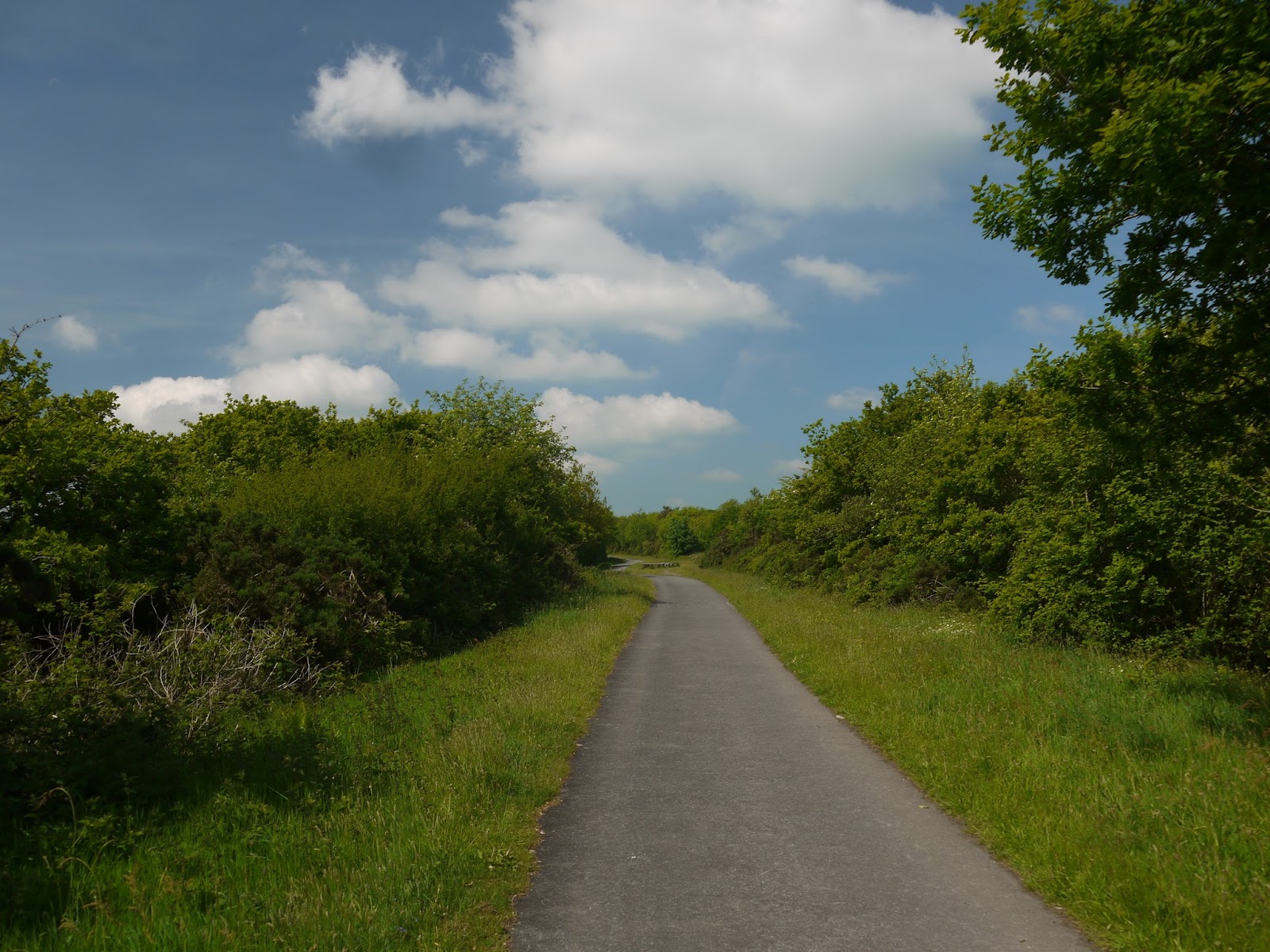
It's been a long while since I posted a cycle trip on this blog but a recent trip to Devon warranted an exploration of one of the County's excellent network of paths.  The closure of extensive swathes of the rail network during the Beeching era has proven to be a mixed blessing for this very rural county.  Large areas of the county are now devoid of a rail connection but the flip side to this is that many of the routes were bought by Devon County Council following closure and have been converted into cycle ways, of which the Granite Way is the most recent example.

Okehampton Station
The Granite Way follows the former London and South Western Railway line that once connected Exeter and Plymouth via a route north of Dartmoor.  The section followed leads south west from the town of Okehampton for a distance of approximately 8 miles to the small village of Lydford.  Okehampton Station is something of a strange survivor - it was spared the ignominy of being closed by Dr Beeching and rather weirdly left at the end of a branch line from the still open Exeter to Barnstaple line.  The onward connections to Bude and Plymouth via Tavistock are long since gone and Okehampton itself lost its services in 1972 when there was obviously a realisation that the line wasn't really viable on its own.

Dartmoor Railway
Yet, Okehampton survived thanks to a large quarry nearby, which left the freight line connection in place until the late 1990s when rail traffic was no longer needed.  This left enough time for a heritage railway operation to get going and as Okehampton station was still in place this became the natural headquarters for the new rail operation.  A youth hostel and bike hire place also found their way here.  Surprisingly the connection to the National Rail Network was also restored albeit on Sundays and occasional other days only.  There is a long term ambition to restore the whole line back through Tavistock to Plymouth although there are no firm plans at present to implement this.  Keeping the line intact for a cycle path is probably a good way to help with these ambitions.

Shared Corridor
We hired our bicycles for the whole day.  For slightly less cost you can hire for a shorter time but being such a lovely day and with as much time as we wanted to take there seemed little point in hurrying.  Initially the route would not be on the line of the railway itself (for it still exists for the heritage operation!).  Instead we had to go down the steep Railway Approach road and then hook a sharp left after the under bridge in order to gain the route.  For the first little bit the route then follows alongside the track, presumably using the same formation but on the line of the second track (it is only a single track operation now).

Milepost
Soon a gap in the trees opened up and the old Norman Castle in Okehampton could be seen.  From this angle at least it was pretty obvious why the castle was built in such a location.  There is a great view from there over the surrounding countryside although cyclists will only get a glimpse as soon the view is blocked by a thick hedgerow.  This stretch of line seemed pretty long too, which was a bit of a blessing as I got used to the bike.  As we came upon the Okehampton By-pass the railway disappeared through a concrete tunnel.  There wasn't room for us and so the path drops away steeply to the right and finds its way through an equally claustrophobic tunnel to cross the A30.  Climbing up through here was surprisingly steep too and I had to work the gears a bit to get to the top.  Negotiating the gates was a little awkward too, but thankfully once through it was a straight run thereafter.

Meldon Quarry Station
We continued along the side of the railway for a little further before the extensive sidings at Meldon Quarry came into view.  The Quarry's status is currently 'mothballed' although it could re-open at any time.  Ironically given its location at the end of a 15 mile long branch line after closure of all the other routes, most of the stone that came from Meldon was used for railway ballast.  Now it is home to the sort of rag tag and bob tail collection of rolling stock and various railway vehicles in a range of states of repair.  I lingered for a while taking it all in.  Perhaps the aspect of the scene that most struck me is that I remember a lot of this equipment in fare-paying service and not as museum pieces.  Does that qualify for me being old?  It is starting to feel like it!

Meldon Quarry
At Meldon Quarry is a small station that is used as the western terminus of the line.  It is nearby an old workman's station that existed here during British Rail days.  As the quarry is tricky to get to by road the station was pretty much the only means of access for workers getting to nearby Okehampton where most of them lived.  There is still no real access by road by the cycle path is an obvious alternative now (but then there are no workers!).

Meldon Viaduct
Beyond the quarry is perhaps the most significant structure on the whole line - the magnificent wrought iron Meldon Viaduct.  What a joy it is to still be able to travel across such a magnificent structure, even if it is by bicycle rather than on a train.  Indeed Network Rail have stated that the old viaduct is no longer strong enough to carry a train and it would have to be replaced if the line were ever to re-open.  I guess this is a significant obstacle to re-opening proposals.  The six truss viaduct is over 150m long and 46 m high.  Dartmoor looms up above it to the south and the reservoir at Meldon is just beyond.  The viaduct actually had to carry road traffic across it while the dam was being constructed in the early 1970s.

Junction with Bude Branch
Having cleared the viaduct the path descend into trees and continues without its railway companion.  I also got the sense that I was starting to head downhill for the going started feeling a little easier.  No long after and I came to what I assumed was an artwork installation or was it just picnic benches?  A family was camped out having a picnic so they obviously assumed the latter.  I decided to wait on a picture of the installation for when I came back later in the day.  Annoyingly I completely forgot so I have no picture of said installation.  I later discovered that this marked the junction for the Bude branch, one of the many destinations for the famed Atlantic Coast Express from London Waterloo to Devon and Cornwall resorts.  Given that the junction is masked by bushes and trees I suppose I could be forgiven for not really knowing it was there...

Sourton Church
The onward track provided some fantastic views of Dartmoor and was largely a very open route, unlike some of the tree tunnels that I have witness elsewhere.  I guess the inclement weather associated with this area during the winter has helped arrest the growth of trees too much?  Rhododendrons and may blossom provided some wonderful colour alongside the trackbed.  Cycling was incredibly easy too for the surface of the Granite Way is tarmac almost the whole way apart from a short gap which we were going to come across fairly soon.

Lake Viaduct
I paused briefly at Sourton to admire the church alongside the track.  Fortunately the old sections of diversion in this area no longer apply and the way is clear beyond.  It is also quite significantly downhill for I really motored along this part.  It wasn't long past here though that I came to a juddering halt for the path reduces to a narrow section winding between the trees and has clearly been left unimproved.  This section is privately owned still and no attempt has been made to improve the track surface.  Fortunately it is only a short section and once through the gate marking the southern end it was back to tarmac path again.  I am guessing that negotiations are underway to include this section officially for there was no attempt to divert us on to a nearby pathway or road.

Platelayer's Hut
Just beyond this section and we came to Lake Viaduct.  This is a more conventional stone viaduct and having been spoiled by Meldon it wasn't quite as spectacular.  Nevertheless there was a lot of activity on the viaduct deck as we approached for it looked like a school group were birdwatching from the parapet.  We paused briefly to look at the view and after enjoying what we saw we pressed on.  The onward path had a platelayer's hut still guarding the way - a real relic from the past!

Bridestowe Station
Not long after the viaduct and the path took an obvious detour away from the trackbed.  This is because we were approaching the only official station between Okehampton and Lydford, the small one at Bridestowe.  This is now a private dwelling that is very much out of sight.  However the footbridge is still intact and the station is in pretty good shape in its new guise.  I wouldn't mind betting that the owner still has an urge to catch a train from his front garden every now and again.  I cannot imagine there were very many passengers using the station though - it is a long way from Bridestowe (more than a mile).

Lydford Castle
Onward from here and it was actually a surprising short stretch to Lydford and the presence of Dartmoor for the last section is a lot less obvious.  When the end does come it is a little unexpected for the tarmac path takes the form of a slip road when it reaches an over-bridge leading the cyclist up to the road into the village.  The trackbed continues as an overgrown and unloved former transport corridor to Lydford Station beyond.  Hopefully this onward section of the railway path will be reopened too?  It would be good to see it join up with the Drake's Trail onward into Plymouth.

Lydford Church
As a cycle path this is a joy to cycle - the scenery is magnificent and the going is easy.  Be aware though that Okehampton to Lydford is largely downhill while the return is steadily uphill.  With a relatively modest length (8 miles) it is an easy one to do in a short day but I would suggest that you combine it with a walk around Lydford Gorge (that is where we are headed next) and possibly even a peek at Lydford Castle and a pub lunch in the welcoming pub next door.  As an all day outing I can certainly not praise it enough!

Sunday, 12 June 2016

Cuckfield and Ansty


Cuckfield Church
I'm a little late with posting this but our latest walk was a family affair and designed to catch the height of bluebell season.  We had actually been elsewhere for the day and so this walk was to fill up the remaining time we had on what was a glorious day that demanded we made the most of it. On the face of it this walk didn't look too promising, with rather a lot of road walking in its relatively modest length of 5 and a quarter miles.  However, as we were in the area it did make a lot of sense to give it a go.
"Cathedral Close"

We started in the very agreeable village of Cuckfield.  The guide book describes its olde world charm and it is hard to disagree although these days it has the air of commuter village about it and I suspect that many of its residents jump on the train to head to the Capital each day.  If the railway company had had its way the village would have had its own railway station but perhaps thankfully the local landowner would have none of it and the line took a different route further east through Haywards Heath.  This decision ensured that Cuckfield would remain picture postcard pretty and crucially did not grow in the same way that its neighbour Haywards Heath has done.  That would surely have changed the village out of all recognition.
New Growth

We parked in the free car park and headed south along the High Street.  Although it was Sunday afternoon there were plenty of people about and the shops seemed to be doing quite well.  Although still quite early in the season the heat of the day suggested that summer wouldn't be too far away now.  From the High Street we headed through the gap into the nearby church yard.  It may only be a small village but the church is quite grand and the approach has more than a hint of cathedral close about it.  We crossed the surprisingly extensive churchyard and turned left on the path beyond.
Flush of Colour

What followed was a rather delightful walk with the new foliage of the trees positively gleaming in the warm sunshine.  It is a combination of colours that is such a winner with me - I cannot think of a better time of year to be out walking.  The bluebells we came to see were very much in evidence too although not in the carpets that we wanted quite yet.  The path headed due east along the southern boundary of Warden Park School; a gleaming looking building that was a lot more modern than I remember from a professional visit a few years back.  I guess its academy status helps on that front.

Copyhold Lane
The path was still a bit sticky, courtesy of the winter and early spring weather that we experienced.  Worse was to follow though as we crossed the A272 and headed along the path opposite we discovered that it was completely impassable and was nothing more than a swamp.  With our experience in Burwash fresh in our minds we had no desire to repeat that mudfest and cast around for an alternative route.  Luckily one presented itself although it wasn't especially palatable.  We headed back along the A272 and down Copyhold Lane, adding a short distance to the overall walk.  It proved to be a far more pleasant experience.

Bluebells
Copyhold Lane was to be our companion for quite a while.  Along its length were a number of rather splendid looking houses, although I suspect they have pretty hefty price tags to go along with their agreeable surroundings.  I did enjoy looking in the gardens though - the spring colours really brightening up the route considerably.

Anstye (spelled Ansty most places)
Eventually we ran out of lane as we got to the first of the bluebell woods.  Our path headed right and away from the track and around a large field towards the village of Ansty.  As we got to the end of the field we passed by some people acting rather strangely.  I rather suspected that they might be trying to trap animals judging from what they were doing.  They certainly didn't welcome any attention and so we hurried along on our way into the village of Ansty.  This small place is on the junction of two former coaching roads and I remember stopping here a good few years ago to use its rather agreeable pub (The Ansty Cross).  Sadly this is no more despite what the guide book says so if you need a drink by this point you will have to make do with the fuel station next door.

Ansty Cross
The next stretch of the walk it has to be said isn't very pleasant with more than a mile of road walking.  I cannot say it was even particularly memorable.  Looking at the surrounding map though suggests that there are few alternatives to making the loop back to Cuckfield without adding quite a lot of mileage.  What this section loses in charm though is more than made up on the last stretch heading back into the village of Cuckfield.  Just shy of a place called Winscot the path takes a right hand turn from the road and we breathed a sigh of relief at not having to dodge cars any more.  We were also treated to the sight of a buzzard overhead although it quickly retreated when mobbed by a couple of crows.
Wonderful Sky

We then headed through the woods and saw exactly what we had come for - a whole carpet of bluebells stretching out before us.  This stretch of the path was delightful and perhaps got even better as we flirted with adjacent fields enabling us to get some great views out over the South Downs as well as having the bluebells at our feet.  The path crossed the north end of Cuckfield Park, the local pile once owned by the squire that had refused permission to the railway.  Sadly the path doesn't allow for a great view of the park, but some of the old landscaped features are hinted at, including a balustraded bridge that we passed by.

View of Cuckfield Church
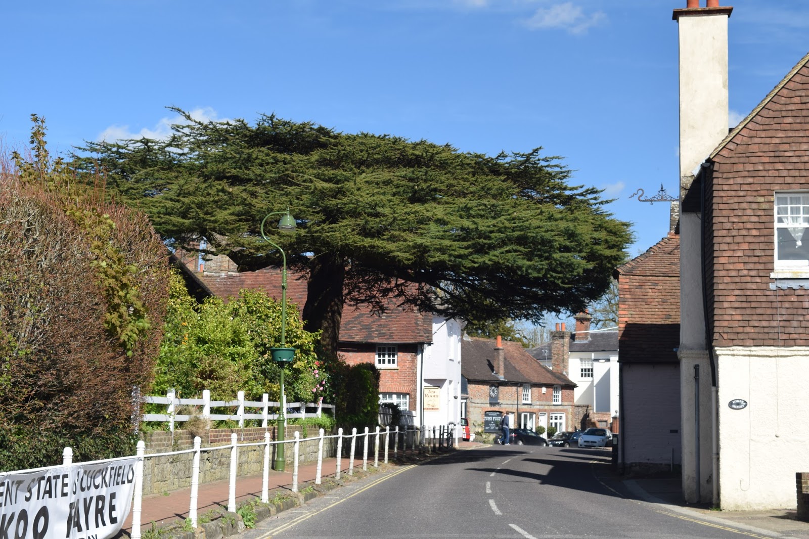
At the top of a small hill that we had to climb is perhaps the best view of Cuckfield; across the park to the church beyond and all neatly framed by a magnificent looking oak tree.  For my money this was the best scene on the entire walk and great that it was saved until almost the very end.  We were soon back in the busy High Street and walking under another memorable tree - an umbrella-like cedar tree that I remember liking as a child.

Umbrella Tree
This walk could only be described as pleasant - it isn't taxing and the views are memorable.  However, the section of road walking does spoil it and perhaps with a bit more research and some more time we could come up with a lengthier but better version.  If I do I shall be sure to let you know :)
The Old Vicarage

Thursday, 19 May 2016

Westerham and Chartwell

Winston
Rather randomly my daughter had an inset day on a Tuesday and faced with a beautiful day and at the height of bluebell season we decided to head off and find ourselves a good wood.  I had a mind to go to Emmetts Garden in Kent as we had never previously visited.  That meant that the best walk for us to do in the area was number 5 in Pathfinder Guide volume 8 Kent Walks.  My wife and I actually bought the book when we lived in Kent and it was the first time it has been off the shelf in 15 years!

Westerham Pond
Westerham is indelibly linked with Winston Churchill although it was also home to General James Wolfe too.  Both men are commemorated with statues in the town, with Wolfe brandishing a sword while Churchill languidly sits on a bench in the middle of the green.  This was the official starting point for our walk having wandered the short distance from the long stay car park on the edge of town.

View Across to North Downs
We didn't stay long in the heart of town for our path took us down an alley opposite the green and before we new it we were out in the countryside beyond.  It was a sunny day with plenty of puffy clouds lumbering across the sky.  I did wonder whether they would eventually cover the sun entirely but they never did thankfully.  There was still a chill in the air - summer has definitely not quite arrived yet!  However it was that magical time of year when the leaves just start turning from buds into full blown foliage, the colour of the new growth is such a treat every year.  In the backs of the gardens of Westerham there were also a few blousy looking cherry trees sporting their pink and white blossom.  This is equally short lived and has to be appreciated while it lasts.
Bluebells
We walked along the side of a field at the back of Westerham houses and as we did we caught sight of a jay - it has been quite a while since I've seen one and for my daughter it was the first time ever.  She thought I was pulling her leg when I told her that it was a member of the crow family.  To be honest I can see why she was so incredulous - they do look like crows wearing fancy dress!

Laying Down
Soon we came upon a small lake that looked for all the world that it might once have been attached to a mill.  Now just a green oasis we enjoyed the antics of the ducks briefly before moving on past the rather attractive lodge house announcing the start of Squerryes Park.  The house at the centre of the park seemed to be out of sight, rather hidden by some trees.  The house itself is no longer open to the public so looks like we have missed our chance at least for the time being.

Tower Wood
The walk across the park was delightful, with views back towards the scarp slopes of the North Downs.  I think we might well be tempted to tackle that walk as a family in the not too distant future.  Long time readers of my blog will know that I started the walk in 2004 and walked all of the Surrey stretch before running out of steam at Otford almost in sight from this location.  The path was quite obviously heading uphill as we climbed the slopes of the Greensand ridge just to the south of the North Downs.  For my money the Greensand Way was a far superior path to the North Downs Way, probably because it is much quieter and not spoiled by the roar of traffic from the M25/ M20.

Fresh New Growth
Eventually we came to the woods and the bluebells didn't disappoint - thick blue carpets everywhere and we seemed to catch them at their zenith.  We stood and stared for a while enjoying the spread, feeling very lucky that we had the while place to ourselves.  As we headed onwards we passed a field full of cows all laying down - hopefully not a sign of things to come?

Picnic Area
Our path headed further and further into the woods.  We came upon a section that was cleared but otherwise it got denser and denser and we felt that we were firmly in fairy tale country.  In truth the woodland was so densely packed it made me feel slightly uncomfortable.  I was pleased then when we joined the Greensand Way proper for I knew that we would soon see views out from the ridge.  As we got to Mariners Wood we passed a rather strange and random little picnic area.  It looked like it had been left as unwanted furniture from the neighbouring property yet you could not describe it as fly-tipped as it was set out nicely.  I wonder how many passing walkers avail themselves of the facility?

Mariners Hill View
The view from Mariners Hill is quite special.  I paused for a time looking out over the Weald from here - the brooding clouds added a certain menace to the scene but here and there shafts of sunlight lit up small patches of countryside.  We dropped down from the top of the ridge to the estate of Chartwell below heading down through more exquisite bluebell lined paths as we did.  The next part of the walk was less appealing - we had to pass by Chartwell along a very busy road (the one bringing the shedloads of visitors in!)  Lucky for me that I had no sense of smell (courtesy of a cold) for my daughter reported that the aromas from the visitor cafe were very appealing!

Chartwell
Chartwell was of course the home of Winston Churchill and as a result is probably one of the most visited of any National Trust properties.  It is a great place to look around but we decided that it ought to be a family trip rather than just the two of us and so we continued on our way, turning left and off the road as we got to the end of the car park.  What followed was a very hemmed in path and one which was pretty muddy, an unusual section for this walk.  This continued all the way over to the hamlet of French Street.  I remembered this part of the Greensand Way for the lovely blooms on the rhododendrons and was pleased to see some were out as we reached the hamlet.

French Street
We dog legged around the scattering of houses and the rather unusual burial ground in the middle dominated by a very large yew tree (isn't there always a yew tree in such places?).  Our path almost seemed to double back on itself, albeit at a slightly higher level.  We descended into the forest again and the feeling of loneliness returned.  I think my senses were heightened by the fact that my daughter was with me.  Probably a good job that there are no dangerous wild animals in the UK for if there were this is exactly the sort of place I might find them!  It wasn't all unpleasant though - the siging birds were a joy to listen to.

Burial Yard
Eventually we emerged from the woods onto a main road at Hosey Hill and passed an old school.  I was slightly disorientated here but soon found the path on the opposite side of the road.  From here our way back to Westerham got a bit confusing.  Not quite sure how we did it but we found our way back to the lodge house that we had passed at the beginning of the walk even though we were supposed to meet our original path at the end of the alley into Westerham.  No matter - it added only a little bit to our journey and we managed to get back while still in sunshine.  Over the North Downs was the blackest cloud I have seen for some time - we managed to get back to the car without getting wet, quite a result!

Westerham
This short walk is a good one for bluebells (and other spring flowers for that matter) and could easily be used as an opportunity to explore Quebec House (home of General Wolfe) and Chartwell (home of Churchill).  I could imagine this walk could then be an all day affair.  As it was it took us a little over two hours - just about perfect before heading to Emmetts Garden nearby for a welcome tea.

Monday, 9 May 2016

Durford Heath and Rogate Common

Durford Heath
Our latest walk is another short one - walk 1 from the Pathfinder Guide volume 66 West Sussex and the South Downs (it is also walk 1 in volume 52 More Sussex Walks).  We are seeming to manage little and often again now the weather has warmed up - no bad thing perhaps but I am yearning for some more challenging walks.  We chose this one on the basis that it may well be mud free and I am pleased to say that it was mostly true :)

Avenue of Trees
The walk started in the pocket car park at Durford Heath, an area of the Weald in the very northwest corner of Sussex.  Long time readers may know that I parked here when walking this section of the Sussex Border Path (https://www.flickr.com/photos/worthingwanderer/sets/72157627948044489/).  On this occasion though I headed out in the opposite direction, walking down through the magnificent forest that characterises Durford Heath.  This was a very different Durford Heath than the one I visited all those years ago though for the trees were largely bare.  This meant that the woodland was a whole lot brighter and possibly as a result there were no deer on this occasion.

Bluebells
The path led largely downhill for quite a long time, weaving around the trees and avoiding the mud (yes there was some!).  Eventually we took an uphill route out of the trees and finally came out into the open.  The view across to the South Downs in the distance was quite magnificent and the big puffy white clouds really enhanced the scene ahead.  All alongside the path were clusters of primroses and bluebells; spring really was very much in full swing now.

Perfect Sky
As we left the wood our path changed character somewhat.  No longer the open path through the woods it started to become hemmed in by flowery banks and newly growing ferns at one stage it got deep enough to feel like we were just peeping over at the surrounding fields.  The views across this stretch of countryside were quite superb and for me this was perhaps my favourite part of the walk.

Field Views
Because of the shortness of the walk we had to keep our wits about us with directions and soon it was time to turn left along an even more sunken lane.  This was so deep we couldn't see out of it for a while!  This eventually came out into a road by a pumping station and we continued along the same direction passing some impossibly pretty looking cottages still flanked by daffodils despite the lateness of the season.  The gardens outside the properties looked well tended and it was no surprise to see gardeners hard at work.  I suspect that most weekends are taken up with keeping everything in check!

Hollow Path
At the final cottage before the road changed direction we turned left again and headed back up the hill towards the woods of Rogate Common.  We soon reached the house known as Commonside and it is hard to think of a more idyllic spot - the house is magnificent and the pond outside rather fascinating.  It was our last view of open countryside for the path disappeared into the woods again.  

Slade Farm
The woodland was notable for whitebells, a rather rare albino version of the bluebells that normally cover the forest floor.  The white ones are not quite as rare as some would have you believe but it is always a treat to see them.  I think the pink ones are even rarer - don't see too many of them.  We also caught sight of a buzzard though here - he was sitting on a tree for a while before flying off when he saw us.  That was quite a treat I can tell you!

Kingcups
The rest of the walk was largely though trees, mostly pine (unlike the deciduous trees of the forest at the beginning of the walk).  This is obviously an active forest for a big section had been clear cut, opening out a big area that will no doubt soon be colonised by new plants although it looked a bit bare at this time.  Considering that this was only a 3.5 mile walk we packed a surprising amount into the short distance.  It was truly the perfect day for walking too!

Sunday, 1 May 2016

Derwent Valley Heritage Way Section 6 Derby to Derwent Mouth


Shardlow Docks
After our abortive attempt to do this walk a few weeks earlier we were pretty pleased that another opportunity came along pretty quickly at the end of the Easter school holidays.  This would be a rather different section of the Derwnt than we had been used to thus far as the hills were now long behind us and the terrain was pretty flat for the whole route.  We parked in the village of Shardlow about as close as we could get to the end of the hike and got the bus to Derby Station to resume the walk.

Former Railway Building
It was a bright sunny day to begin with although being a spring day it always looked like it might change later in the day.  For now though we enjoyed the warmth as we retraced our steps along the road that we had had to run along a few short weeks earlier.  The station at Derby still gives a hint of the mighty railway centre that it once was.  It is perhaps the only city in Britain that still builds trains and a few underground ones destined for London were lined up just near the station.  Most of the other buildings are now mostly used for something else but there is no doubting their original heritage.  The houses opposite are also clearly railway cottages and what a fine sight they make now they have been gentrified.  I don't suppose they ever looked as smart!

Railway Cottages
We reunited with the river and headed eastwards under the concrete bridges of the ring roads; a far cry from the beautiful Peak District section.  In fact the next mile or so of the walk were fairly charmless as we wandered along a stretch of river now seeing some massive changes on either side as the former railway yards and depots are now transforming into a more 21st Century landscape of retail parks, business parks and rather uninspiring looking housing.  Perhaps the latter will look better when they have blended in a bit but I always think that new houses are a bit stark.

Pride Park
The river wound around the biggest edifice of all - the large expanse of Pride Park, home of Derby County FC.  They were at home today against one of the other 12 founding members of the Football League, Bolton Wanderers.  Fans were starting to gravitate towards the ground although it was pretty early for kick off, which wouldn't be for a couple more hours.  We wandered by and soon we lost the rather temporary looking landscape of regenerated Derby and entered a rather pleasing park after passing underneath yet another railway line.

Railway Crossing
The mood of the walk changed almost instantly.  We were now in Alvaston Park and this was a well tended landscape full of daffodils and a few hopeful fishermen sitting around the pond at the heart of it.  As we headed further east the Saturday football matches were in full swing and the intensity of one of them suggested that it was one of some importance.  At the far end of the park we passed by a BMX track but sadly this seemed to be out of use for the day.  I would have quite enjoyed watching the youngsters performing their tricks as we went by.

Alvaston Park
The river was a constant companion and it was getting ever wider and man-managed with weirs and other devices designed to tame it and stop it being such a flooding threat to the settlements around.  Almost imperceptibly we were leaving the city behind although looking at the map that didn't seem obvious as there seemed to be plenty of settlement around.  Strangely the built up area seemed to diverge away from the river - perhaps the flooding just got out of hand when the nearby areas of Alvaston and Borrowash were developed?

Alvaston Park
The last of the big weirs was just before Borrowash Bridge and was quite fascinating to watch.  An enormous amount of energy accompanied the river as it tumbled over the man made weir.  It was around here that we really felt that the countryside properly started.  Just beyond was Borrowash Bridge, a single lane affair that had to be signal controlled.  This made life rather easier for us in terms of crossing the road, which was welcome as it had the hallmarks of being quite busy.

BMX Track
The field opposite was enormous and I am guessing was normally full of sheep.  I base this not on any evidence of sheep but bizarrely because of a large number of swedes that lined the path alongside the river.  It was a very strange sight and in fact we didn't think that the swedes looked very appetising for any creature, including sheep.  The farmer had dumped hundreds around the field and I suspect that they will end up acting as compost rather than fodder.

Weir
About a mile from Borrowash Bridge and shortly after passing some new duck families (broods that were quite big!) we left the river as sadly there is no path along the bank from here to the mouth.  It was also about here that we lost the sun as the cloud that had threatened for much of the day finally closed off the blue sky.  In fact the showers away in the distance looked pretty meaty and we were hopeful of avoiding one as a severe wetting looked to be a distinct possibility.  Our most immediate problem though was negotiating some pretty muddy fields (although nothing compared to last week in Burwash).  We were pleased to find ourselves in the lonely feeling Ambaston Village for no other reason than having some solid ground under our feet.  The village itself was rather strange - I couldn't quite work out who had decided to start it as there was no church, pub, shop or any other focal point.  It is remote enough that you couldn't even call it a suburb.  It was mostly silent as we walked through apart from a couple of bods washing their cars.  Not a place to linger long that is for sure...
Borrowash Bridge
The onward walk to Shardlow can be described as nothing short of completely uninspiring as we trudged along a road for a mile and a half with increasingly grey skies.  It wasn't very pleasant and seemed a rather sad end to what has otherwise been such a lovely walk.  When we got to Shardlow the children had had enough and we saw a huge shower coming our way and this prompted us to call time on the day here.
Turnips

There was still the small matter of walking to the end of the trail and so we decided to go back early next day when the weather was an awful lot better.  It turned out to be a good call.  Sunday morning was everything that Saturday afternoon had not been.  The showers had gone and the clouds blown away to reveal a beautiful crisp start to the day.  The walk along the Trent and Mersey Canal to meet the mouth of the Derwent was nothing but a pleasure.  It was a little strange walking along a towpath again with the river nowhere in sight but it did remind us how much we like canal walking.  Thoughts turned to the next walking project now that this one has been completed.  We all agreed that it would probably be somewhere closer to home so that we didn't need to find free weekends but just the odd day.

Road Walking
The end when it came was something of an anti-climax.  Our guide book suggested that there was a largish concrete footbridge across the canal where it met the Derwent and the River Trent.  When we got there though the footbridge was gone, replaced we were guessing by a new metal one some distance further along the river.  Apparently the concrete one was demolished in 2003 - just showed how old our guide book was!  Anyhow - we felt a sense of achievement finishing this walk and were thankful of such great weather at the end vindicating our decision to save this bit from the previous day.
Derwent Mouth
The Derwent Valley Heritage Way was certainly a fascinating journey.  Even the last day although probably the least scenic section still had its moments and the last mile in particular was quite charming.  Now onward to a new walking project with the girls!