Friday, 21 September 2018

South West Coast Path Section 28 Coverack to Helford Passage

Helford Passage
A change of pace from North Cornwall!  Having closed off the gap between Bude and Tintagel my next mission was to close the remaining Cornwall gap at the Lizard.  I had left this section until last largely because of the transport difficulties that this area poses.  I finally decided to admit defeat and get a taxi rather than deal with the lengthy and convoluted public transport options.  I used Telstar taxis for both this day and the other day from The Lizard to Coverack.  I was met on time by the very reliable and affable driver called Peter - he was very good company on both legs of the journey.  On this particular day I didn't meet him until 11am as I had the lengthy drive down from Bude to make first.  I got there in good time thankfully - I wasn't sure at one stage.

Lowland Point
The day was unrelentingly hot, just as the last two days had been.  I was glad therefore that on paper this looked like the easiest day I had  remaining.  The early part of the walk from Coverack was very pleasant and mostly flat over to Lowland Point.  There wasn't a cloud in the sky and with the sun beating down I slapped myself all over with suncream a lot sooner than usual.  The path along this section wasn't always distinct and I had to make some best guesses in some cases.  The terrain was largely flat but covered in loose boulders and scrubby vegetation of gorse, bracken and heather.  I had heard that there was a diversion in place somewhere just after Lowland Point and I wasn't looking forward to heading inland.  At Lowland Point I had to dodge a load of cows who were all rather interested in me.  I never used to worry about cows until my experience earlier in the year - now I am much more wary.

Approaching Quarry
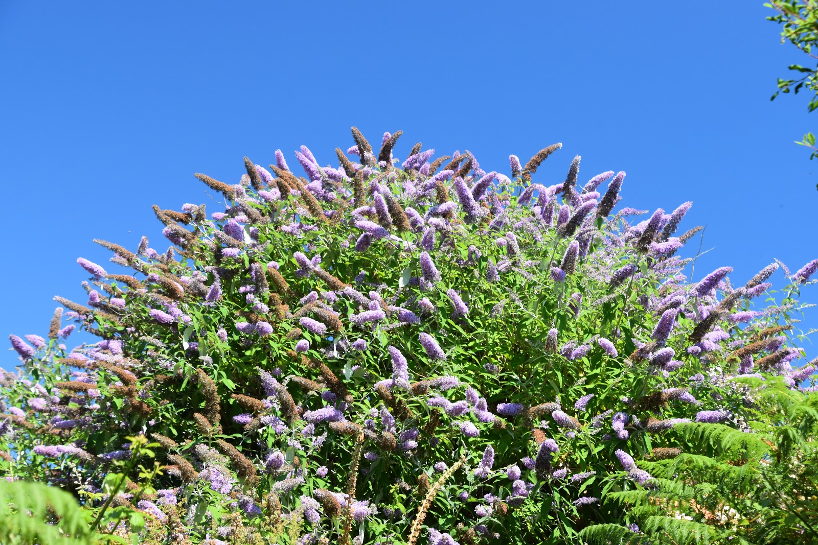
After I passed by I had to negotiate lots of large boulders that looked as if they were serving as some kind of coastal protection.  Eventually I came to a very large sign warning of quarrying activity further on but on closer inspection it was pretty faded and I actually wondered how current the advice was.  There was a clue in how overgrown the path was; in fact it was unusually so.  I put it down to the rapid growth of buddleia bushes, which were the main culprit.  As I got closer to the quarry I could quickly see that it was long since abandoned and only the scar of the original industry was left.  Just across from the quarry the old dock that was used to ship materials out stood folornly along with some of the buildings associated with the industry.  Nature was slowly reclaiming all of it, making for a rather fascinating stretch of path.

Buddleia
I crossed to the next cove, where the back edge was covered in a reed bed.  I had to be careful here as the path detoured inland to the small village of Rosenithon.  As I headed up away from the beach I passed a couple of guys who looked like they were surveyors or something - they were dressed in bright orange construction suits.  I rather wanted to see what they were up to but they disappeared across a stile and seemed fairly determined not to engage with me.  The path took a route around the back garden of a house and where I was due to meet its access road I was met with a barricade.  The penny then dropped - I was at the far end of the diversion.  There had been no sign of it at the other end and I had blithely carried on.  No wonder there was an overgrown path - it was supposed to be closed!  Getting through the barricade wasn't at all easy - the path authorities had clearly done their job.  I wasn't about to be thwarted though - retracing my steps and going around the diversion was unthinkable now.  I thought I had got away with it but was clocked by the postman who looked rather unsympathetic to my cause.

Derelict Pier
Feeling relieved that  I had got through I now had some road walking to do, climbing up through the village.  I smiled as I saw a small decoration of a skeleton hanging up outside one of the houses - it was captioned 'Dehydrated Coastal Path Walker'.  It was a cue to me to make sure I had something to drink!  At the top of the hill out of the village I crossed into a field that cut off the corner of the roads and headed diagonally downhill across it and met the road once again.  This took me down the steep  hill into the village of Porthoustock; a scattering of houses behind a rather industrial looking beach.  Over on one side was another dock that looked like it could have something to do with the gabbro quarry I had passed.

Dehydrated Coastal Path Walker
I didn't linger, climbing up the slope on the other side of the village and past some delightful fields including one full of flax, that had a beautiful blue hue to it.  Sights like these made the climbing easier although to be fair it wasn't anything like as tough as  I had encountered on the north coast.  At the top I joined another road - much of today's walking was along paths and stretches of road.  There isn't really enough available coastline to make this a coast path in quite the same way as other sections.  At a crossroads further on I took the only non-road option - a small path that descended through a small avenue of trees before meeting another road and down into the village of Porthallow.  This was the village that I stayed in overnight so I took great care to check out the facilities including the pub.  It looked very acceptable so I decided to wait until the evening to have my meal there.

Former Lifeboat Station
This was the lunchtime stop for other walkers too.  A German woman was talking to some fellow walkers outside the pub - I would see her again on the path.  She was walking in the opposite direction to me and her ultimate destination for this trip was St Ives.  I sat and listened to the conversation with amusement while I scoffed a very welcome ice cream.  I mused about all the coast she would traverse in reaching that particular goal - some pretty spectacular sections.  I also learned that Porthallow is the halfway point on the path and there is a substantial marker post to commemorate this fact.  It seemed rather odd to pass this now that I am so close to completion.  By the end of the day I would have completed the whole coast from my starting position to Lulworth Cove - almost half the distance in one stretch.

Halfway Point
The next stretch of path from Porthallow to Nare Head was probably the highlight of the day.  I climbed up the steps to the side of the house nearest to be the beach passing John's Weather Stone as I did so.  I have come across a number of these across the country now - they are amusing at first but perhaps a little whimsical after the first time you see one.  The stone accurately predicts the weather depending on how wet it is...

Small Tortoiseshell
Once at the top I followed a path through bracken and brambles along the top of a cliff for the most part although it did undulate quite a bit.  Views across to Falmouth were now starting to open up and by straining my eyes a bit I could see St Mawes castle way off in the distance, evoking memories of doing the Roseland Peninsula a year ago.  My goal was the little lookout spot at Nare Head, now used of course by the National Coastwatch Institute.  I have lost count of how many there are  of these - they must have been quite a financial burden to the coastguard and no wonder they aren't under state control any more.  It is good to know that they are still be used for much the same purpose.

Nare Head
Guarding the Coastwatch Institute was a large herd of cows.  The volunteers inside the building didn't seem to notice - they were too busy tracking the boats in Falmouth Bay.  I walked on by knowing that through a combination of cows and indifference I wouldn't be getting much conversation out of these fellows.  I turned instead to a different kind of coast as the path now headed along the shore of Gillan Creek.  This was delightful and could easily have rivalled the last stretch had it not been for a lengthy inland diversion due to a rock fall and this rather spoiled my enjoyment.

St Anthony across Gillan Creek
I had worried a little about the state of the tide.  At Gillan Creek further on I would be able to cross by fording the shallow part if the tide were low enough.  Sadly for me it wasn't and I therefore had to face the lengthy walk around the head of the creek to bridge it at Carne.  This was going to add more than two miles and include a fairly steep climb, not something I welcomed on such a hot day.  I tried to focus on the cold drink I promised myself at the shop on the other side of the creek.  I set off on a mission to get this bit done as soon as possible and slogged up the hill.  I had to go into a field towards the top and got a bit disorientated as the corn was so tall that I couldn't see where I was supposed to be going.  Add some stingers in the mix and by the time I reached the road that marked the top I was properly cursing.

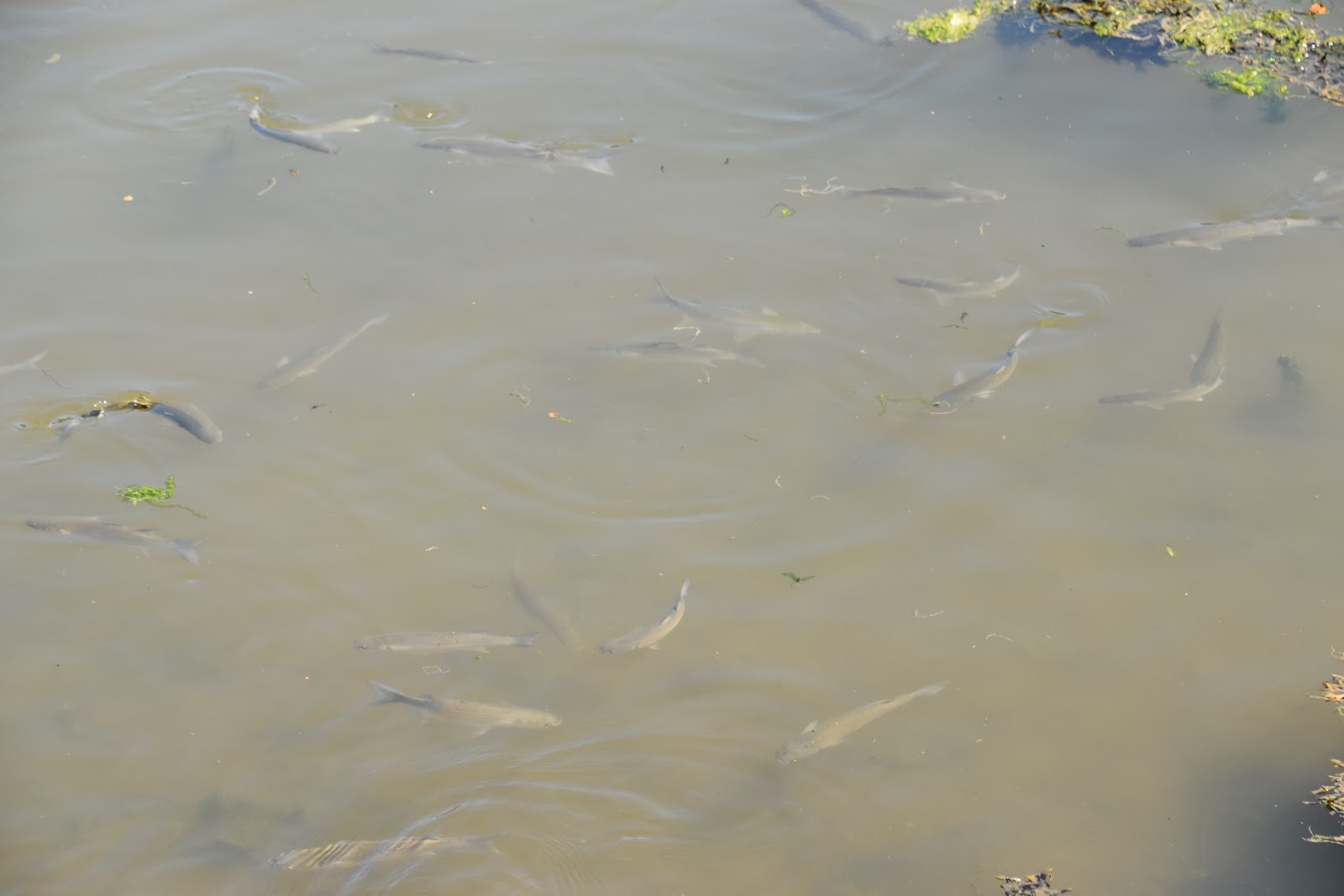
Mullet
The remaining part of the walk around to St Anthony-in-Meneage was along the road.  This wasn't as bad as it sounds for there was barely any traffic and after reaching the old mill at the end of the creek I turned to walk along a largely shaded stretch of road and progress was quite quick.  I cannot say that these extra two miles added much in the way of extra experience though.  Apart from the mills, (which were scenic), watching two children going round in a circle in their kayak on the water (not sure they had got the hang of steering) and seeing lots of mullet swimming in the creek this stretch was one I could easily have done without.  When I got to St Anthony I was more than ready for a drink.  The only shop was at the boatyard but the cold lemonade I got from there was more than welcome.

St Anthony-In-Meneage
I had another short climb up out of the village to St Dennis Head.  Somewhere in the undergrowth at the top is a watchtower called Little Dennis.  I did try and find it but I guess that was always going to be an impossibility at a time of year when vegetation is at a maximum.  Instead I settled for the view out across Carrick Roads, which was marvellous.  At the end of the headland I swung back to follow down the other side and along another creek - this time Helford Passage.  I briefly met the outward path before heading down to the right along a path that at first clung to the top of the cliff alongside a field but eventually dived down into the wood that fringed the creek.  This made for nice shady walking but apart from a few welcome glimpses outwards it also meant that I saw little of the creek itself.  The tantalising glimpses I did see were fantastic and every so often I came across a small cove that were usually filled with families barbecuing.  Sounded like a great plan to me!

Helford Passage Cove
As I reached Helford I had to dog leg around some houses in order to find the car park once again.  Before leaving I did take the opportunity to walk into the very picturesque village.  Only resident cars are allowed and seeing the difficulty a delivery driver had with the ford to access the village it is no wonder.  I wandered through the very narrow street to finally reach the ferry crossing.  There would be no need for me to do this today since I had already walked the onward leg, way back in 2011.  It just remained for me to retrace my steps back to the car and reflect on the day.  This was probably the perfect leg to do on such a hot day - it wasn't too challenging although it wasn't without its frustrations.

Helford Ford

Monday, 10 September 2018

South West Coast Path Section 12 Bude to Crackington Haven

Bude Beach


I was assured that this was an easier section than the following one that I had done in reverse. I wasn't sure that was going to be necessarily true with the heatwave that we were having for I find walking in the heat adds an extra dimension of effort. I did have the luxury of a later start though and made the most of it with a leisurely breakfast before heading off to Crackington Haven. It did feel slightly odd not just walking out from my B & B in Bude but I thought it best because of the lack of parking in Bude and also because I didn't want the same fun and games with the buses that I had had yesterday.

The Bude Light


By the time I got back to Bude the heat had already started to build as by now it was mid-morning. I stocked up on refreshments and headed down to Bude Canal. This highly unusual canal is still in water in Bude and there are a number of boats that ply the short length remaining. It has the only lock that accesses the canal directly from the sea in the UK and judging from the number of people milling about it is still quite a popular feature in the town. The original canal reached 35 miles into the hinterland and was unusual in that it used inclined planes rather than flights of locks to negotiate the contours along its length. These are all derelict now but they can be traced and there is some consideration towards restoration.

Bude Canal


Once I had left the canal and the people eating breakfasts aboard a floating cafe I climbed up towards Compass Point, a curious landmark that is octagonal in shape and has compass points on each of the sides. The view from the top was fantastic looking right out across the expansive sandy beach in Bude and the tough sections of coastline back to Hartland Quay. My onward view was less obvious principally because I had some headlands to walk over before I got to Widemouth Bay, approximately 3 miles away. The next headland was at Efford Down which was adorned with a trig point rather than a tower. It had a small additional stone built pillar next to it - the purpose of which I could not determine.

Compass Point


The path over the cliffs to Widemouth Bay was delightful as well as being quite easy going. It limbered me up for the tougher parts of the day which were to come much later. When I got to Upton I was met by the coastal road. Just shy of meeting the road and I passed what professed to be a bookshop, with proceeds going to charity. It looked as if a number of the books on the table had been there for some time judging by their faded look. I wasn't tempted, principally because it meant something else to carry for the day.

Heading Out Of Bude


At Phillips Point I found a nice bench to set myself down on while I had a much needed water break. I had the feeling it was going to be that kind of a day. Having got the public transport part of the day out of the way I wasn't really in a hurry anyway. I sat and watched a kestrel hunting for some time here before I headed over the last of the small hills to reach Lower Longbeak. This headland enabled perhaps the best view of Widemouth Bay and was thronged with people, most of who I suspected had parked at the adjacent car park judging from their footwear.
Widemouth Bay


I made my way down to Widemouth Bay and determined to make the most of this refreshment opportunity even though it was a bit early for lunch. It was mostly because I couldn't be sure I would have another one before I got to Crackington Haven and the onward walk would be a lot harder than the fairly easy section that I have had so far. I stopped at the first place I came to which was a coffee/ ice cream shop and decided I had done enough to warrant an ice-cream. As I consumed it I briefly contemplated walking across to the tide line and walking barefoot across the beach. I decided against it principally because I didn't want to disturb dozens of people laid out enjoying the sunshine. Picking my way through the hoards looked a bit daunting so I proceeded along the back of the beach, which was easier even if less enjoyable.
Widemouth Bay


The path soon climbed away from the beach and a more expected type of walk was to now follow. I walked through a welcome shaded section until reaching a road. I climbed the first hill by means of using the road and soon passed a sign saying that buses were prohibited. Imagine my amusement therefore when a very large 53 seat coach went thundering by. I knew it would be back and it was only a few minutes later. I wasn't sure how it had managed to turn around at the top but to my disappointment it had. Perhaps he did know something I didn't after all. When I got to the top I immediately saw that there was a turning circle easily big enough for the bus. I also saw the most amazing view back towards Widemouth Bay and it was hard to believe that I had already walked so far. I moved on from the parking area onto the path a little further on and decided to stop for an extended period and just enjoy my surroundings. Below the waves crashed against the base of the cliffs and the seagulls cried overhead. I was completely lost in the moment for a few minutes and I felt very happy that I had taken the time to do this. Sometimes I focus too much on the goal rather than enjoying the journey.
Millook


Once I had summoned up the energy to carry on I descended almost down to sea level from my lofty spot via some steep steps. This was Millook, a delightful little spot dominated by a small house with a sizeable verandah that looked a bit more New England than England. It was certainly a little place that I would have enjoyed spending some extended time. Instead I had to plod up the hill via the road that I had rejoined. Thankfully it wasn't much further as the path disappeared off to the right towards the top of the hill and plotted a course along the cliff edge once again. This stretch of path was easy going for a bit and most enjoyable for there was a welcome breeze in my face for a while.
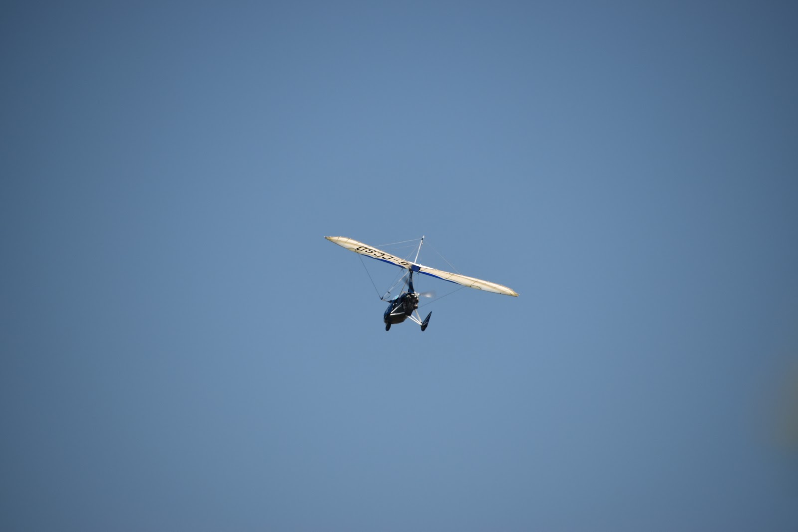
Microlight


The crest of the hill was a long time coming but when it arrived there was a very welcome chair to greet me. I took advantage and as I sat guzzling water I was buzzed by a microlight plane. I imagine his view was even better than mine although it was pretty special up here. My nice path was interrupted soon after by a small valley and I had to drop down into the woods for a short time at Bynorth Cliff. The shade was welcome but the climb back out the valley was less so. I climbed to the top at Dizzard Point to where I reckoned was the highest point of the day. Just after I passed the trig point at the top I bumped into Frank once again, the bearded walker who I had said hello to the previous day. This time we had a much longer conversation and recalled our different experiences walking the coast path. It turned out that he had lived in Lancing - what a small world it is! He was walking the path at a leisurely pace and with all his kit with him he could start and stop more or less where he wanted.
Tadpoles


We parted wishing each other luck and I continued along the flat path for a bit thinking that Frank had a bit of a climb to do shortly that I hadn't warned him about. I needn't have worried - the one I encountered was fearsome to say the least! Although it wasn't all the way down to sea level this time the gradient was joint sapping to say the least. Unusually I decided to pause at the bottom. My feet were pretty hot and there was a very welcoming stream that is simply had to dip my toes into. As I sat enjoying the coolness of the water I suddenly caught sight of movement in the fast flowing stream. Upon closer inspection I realised that it was a tadpole and as I looked harder I could see heaps of them! I hoped that the presence of my feet didn't pollute the water too much for them :)
Cleave


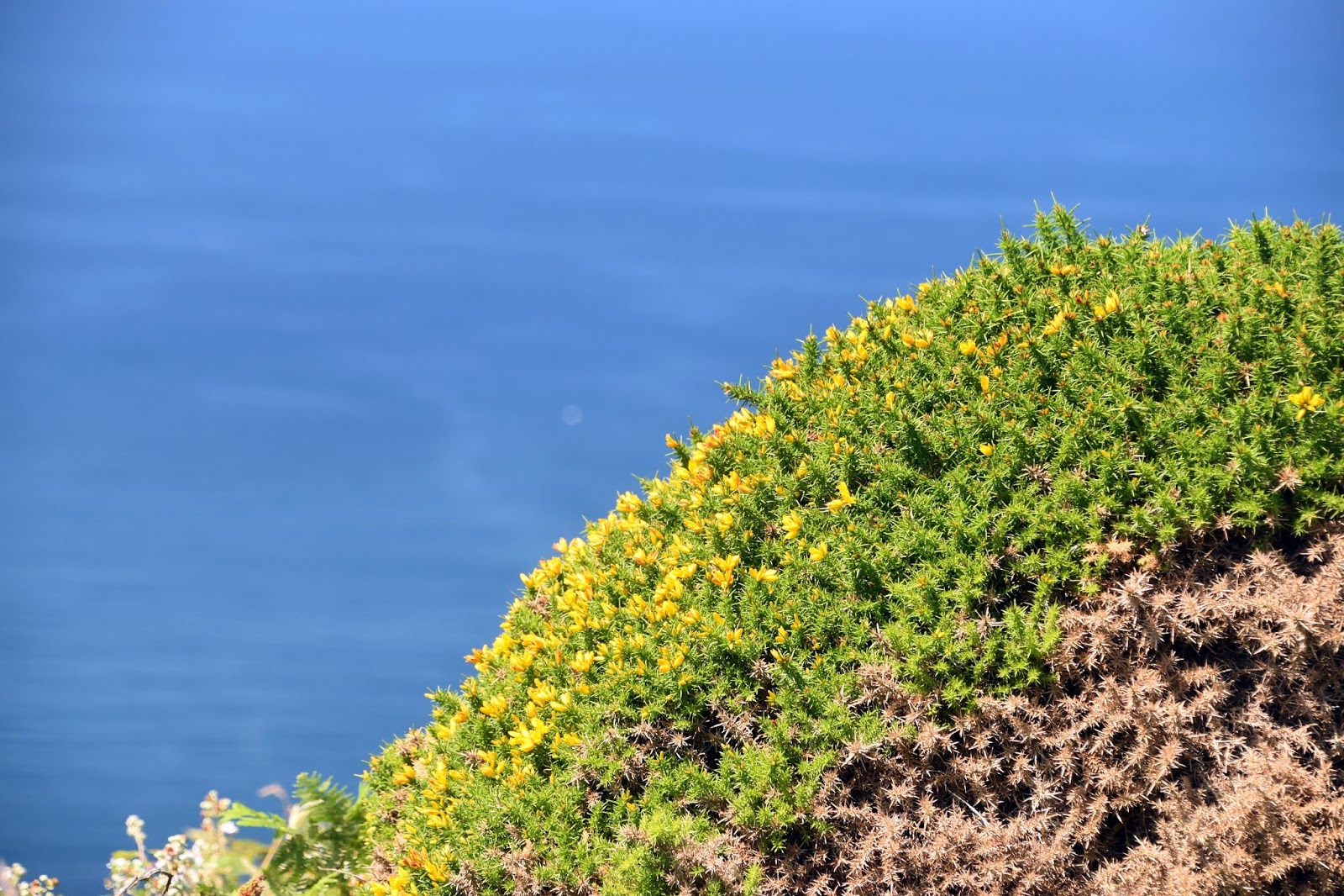
Feeling refreshed I clambered up the other side of the valley very slowly to help conserve my energy a bit. On paper I was getting pretty close to my destination now but of course being the coast path progress wasn't that straightforward. I had another couple of valleys to traverse - the first fairly minor but the next was another beast. It wasn't altogether clear where I needed to cross the valley but I felt for sure I would have to when I saw the terrain ahead. Off in the distance I could also see St Gennys church, which from this angle looked like it was partly built within the hill. My path didn't go immediately across the valley but took me down along a fantastic ridge to Castle Point. For my money this little short stretch was the highlight of the day. I lingered at Castle Point - it really needed a little time to appreciate its beauty. Below me the heather was already coming out - it seemed a bit early but nevertheless it gave the hillside a beautiful purple hue, broken up here and there with little splashes of yellow from newly flowering gorse. This is one of the classic natural colour schemes and has inspired lots of gardeners worldwide.
Castle Point View


I had one last descent and ascent to make - they weren't quite as intense as previous ones thankfully. At the top I could now see Crackington Haven below me - it was a very welcome sight indeed. I also met heaps of walkers coming up to this headland from the beach below. It is clearly a popular spot as my descent was punctuated with lots of stops to allow passage to passersby. When I got to the bottom there was only one place I was headed and that was to the sea to cool off. It was extraordinarily welcome on such a hot day. This was as memorable a section as the onward one that I had done the day before and even though it was four miles shorter it could not be described as particularly easy.
Crackington Haven

Sunday, 26 August 2018

South West Coast Path Section 13 Crackington Haven to Tintagel

Crackington Haven
It pays to think on your feet when doing any section of the South West Coast Path and that was especially the case with this section of the walk.  For some reason I had a time that I needed to be at the path for the purposes of the bus but when I arrived I found that I had read the timetable incorrectly and I had to quickly change plans.  So it was then that I started this section, having already committed to parking all day, rather than getting the bus over to Bude and walking from there.

Cam Head
This is a longer section than from Bude to here and I reckoned that it was going to be very tight to make the bus at just after 6pm but I decided to go for it anyway.  It promised to be quite a tough day of walking - one of the toughest sections I have left to do.  The beach at Crackington Haven looked very inviting and was filling with people at mid-morning when I got underway.  I made a mental note to try it out when I had finished walking for the day.

Cattle at High Cliff
It was a fairly gentle introduction to the path on an undulating route away from Crackington Haven but soon I reached Cam Head and the first stiff climb of the day up a zig zag path.  It was quite tempting to divert inland from here as there was a path cutting off the headland but I am glad that I didn't for the view at the top was quite magnificent and enabled me to get a flavour of what I had to do for the rest of the day.  Way off in the distance I could see Tintagel and a little closer I could see Boscastle, an intermediate staging point and where I had already clocked would be a good ice cream stop.  I paused to catch my breath and enjoyed the view for some time before steeling myself for the next section.

View From High Cliff
I crossed a bit of a moonscape with very little vegetation and what looked like an area that had been extensively quarried hence the scarred landscape.  My way forward was generally uphill but relatively gently and with quite a lot of up and down sections along the way.  After escaping from Cam Head I largely had the path to myself now too and it was a delight.  As I climbed steadily the inland landscape opened up too and the views became more extensive by the second.  Strangely although I think there are far stiffer climbs in the county I eventually found my way to High Cliff, the highest point on the Cornish part of the South West Coast Path.  At the top were a small herd of cows all clubbed together to presumably protect themselves from the worst of the heat.  They were my only companions for quite a while.  I was glad of that since I was probably quite a sight on this very hot day slogging up the hills.

New Gorse
This section would not be for the faint hearted if they were to look down from any of the cliffs.  They are truly vertigo inducing!  However I found the contorted folding and general geology of the rocks utterly fascinating.  The sea could be heard waging war on them from below but it is going to take a very long time indeed to denude them.  Perhaps a sign of their robustness is that this part of the  coast has few rock falls interrupting the flow of the path.

Popular Spot
I passed by the first walker for a while near Rusey Cliff.  I remembered him for his lack of shirt, very suntanned and weather beaten face, bushy beard and looked like he was carrying his life on his back.  We exchanged pleasantries and went on our way - I would be seeing him later.  Further on and I came upon a lot more walkers going in the opposite direction.  Having been down a large dip and back up the other side in quick succession I felt a little smug as I headed down the next descent as they slogged their way up.  I was now at Fire Beacon Point and as I made my way down to the bottom of this particular slope I could see gorse flowers already coming out  for the new season.  It amused me as I once heard that gorse actually manages to flower all year round - difficult to argue when I see them flowering in July!

Pentargon
By now the path was getting a bit busier as I approached Boscastle.  The path to the inlet called Pentargon was largely level and was a delightful interlude after all the climbing and descending but any notion that it would be like that for the short distance to Boscastle was soon scotched when I saw yet another plunging descent into the small valley and stream that empties into Pentargon.  Once I was back up the other side it was a nice easy walk into Boscastle.  I did have the sense that I was unlikely to get to Tintagel by the appointed time for the bus and quickly checked the timetable and realised that if I didn't make the bus I had intended to then there was no way I would get back to Crackington Haven as the last bus didn't stop there.  A quick rethink was needed and a new plan was hatched.  I would run along to the bus stop in Boscastle and head back to Crackington Haven straight away.

Entering Boscastle Harbour
This proved to be a good plan as I made it with a few minutes to spare and the bus was also a bit late much to the chagrin of the couple already waiting at the stop.  They reported that the previous bus a couple of hours earlier failed to show up at all and they were worried that the same would happen with this one.  Thankfully it came and I snoozed on the short trip over to Crackington Haven, waking up only just in time!  An ice cream here soon revived me and I headed over to Tintagel so that I could catch the bus back to Boscastle and recommence my day's walking.  All a bit convoluted perhaps but it provided a much needed couple of hours break in the middle of a very hot day when I most needed it.  I stocked up in the charming village of Boscastle before heading on.

Boscastle
The path took me down the side of the very narrow harbour, which was the scene of a horrific flood in 2004 when the effects from more than 1000 people were swept away.  Miraculously no-one was killed but the devastation took some time to repair afterwards.  Looking at the narrow river mouth it was easy to see how such an event could take place.  Even the pleasure craft had only a small entrance to negotiate before being able to head out into the open sea.

View From Willapark
The path out of Boscastle was possibly my favourite part of the day's walking.  I plodded up to Willapark - a rather curious looking tower on the cliff above Boscastle Harbour.  It was orginally built as a summerhouse but its lookout potential was obviously realised quite quickly as it soon doubled up as a watch tower for the Board of Trade to help with the war against smuggling.  It then served as a coastguard lookout until the 1970s and is now a Coastwatch station, one of so many that I have passed along this coast.

Willapark
Further along the coast was a structure of a different sort - it looked like the remains of a mine.  I haven't been able to find out much about it but apparently there were seams of silver and lead that were exploited here.  I felt my pace slowing down as the miles under my feet started to tell and I was very please to see a eat with a great view back to Willapark a bit further on.  I found that the seat was actually dedicated to a certain Harry Hill MBE.  Well done that man - much appreciated!  After lingering here for a few minutes I felt ready to push on along Trevalga Cliff and soon swapped the view back to Willapark for a forward view to Tintagel that was starting to get quite close.

Harry Hill's View
I had a couple of narrow valleys to cross first - the first was the delightful Rocky Valley where I had to negotiate a valley that was definitely rocky!  It was obviously popular enough of a local attraction that it had managed to acquire a caravan park next door.  Quite what the dog walkers thought of me as a sweaty mess when they were out on their sedate evening stroll is anyone's guess.  Having traversed Rocky Valley I had a smaller one to cross a bit further on - this time crossing a track that led down to a secluded beach.  Even at this late hour there were a number of families heading down for a late swim, no doubt taking advantage of the low tide.  I suspect that the beach disappears when the tide comes in.

Top Man
One more big climb awaited me and I was mighty relieved when I got to the top of the rather confusingly named Willapark - I hadn't gone round in a circle; the locals obviously ran out of names for headlands!  As I headed along this stretch I was followed by a friendly stonechat - I have really appreciated their curiosity and friendliness along the path.  They make nice companions and it's almost as if they are willing me on to finish!  This little one I reckon was the welcoming party into Tintagel.  I certainly welcomed the end of the day's walk - it was spectacular through but I felt like I had had a thorough examination!

Stonechat

Wednesday, 15 August 2018

South West Coast Path Section 57 Chapman's Pool to Swanage

Chapman's Pool
This is another part of the coast where public transport is scarce so I had to be creative with how I broke up the sections.  This led to the rather contrived start point for this walk, using Kingston village (about a mile and a half inland) as a starting point.  I parked in the village, leaving the bus journey for last.  This wasn't too much of a problem for there is an hourly service from Swanage.  It promised to be another hot day during the heatwave that is summer 2018 and I had made sure that I was very well stocked with stuff for there are no places to resupply along this route until almost at Swanage.
This way
The walk down from Kingston village is easy - just follow the road down from the church that eventually becomes a farm track.  It is pretty much downhill all the way from the village to the coast.  When I hit the coast finally it was at the top of Houns-tout Cliff and down I had to go once again this time down a very steep slope to just above Chapman's Pool far below.  Now reunited with the path I had to take a rather convoluted route inland a bit to a place where I could cross the valley easily but a cluster of very attractive houses.  This route has changed in recent years because of the unstable nature of the cliffs, rendering the original route unusable. On the other side I had to practically double back to climb the slope of West Hill (on the eastern side of the valley!).
Emmett's Hill Memorial
Once I had slogged to the top I got one of the best views on the whole of the South West Coast Path across the turquoise water of Chapman's Pool and the chalky landscape of the Purbeck coast towards Lulworth.  The familiar shape of the Isle of Portland loomed on the horizon, the last part of the coast going eastwards that it is possible to see it.  The path along West Hill and then Emmett's Hill is a delight - level walking for about half a mile with superb views all the way out on the right hand side.  As I walked along this stretch of route I became aware of large groups of walkers both ahead and behind me.  From a distance they looked like school groups and my heart sank.  My peace and quiet for the day would shattered.  For now I enjoyed the fact that they were some distance ahead and some distance behind.
St Aldhelm's Chapel
Along the level part of Emmett's Hill I came upon a memorial to the Royal Marines.  This was originally put here in 1989 to commemorate the atrocity at Deal when the barracks there was blown up by an IRA bomb attack.  The memorial was commissioned by the Poole Branch of the Royal Marine Association and they wanted a site that looked out over the wild coastline.  I'd say that this location fits the bill perfectly!  It was beautifully planted with poppies and other flowers and looked very well kept despite its relatively remote location.  I lingered for a short while before pushing on towards St Aldhelm's Head.
Radar Research Memorial
Soon my nice level path came to an abrupt end just shy of the headland as it plunged down into a deep valley.  I decided to stop at the bench at the top for some refreshment especially as I seemed to be catching the group up in front.  I noticed for the first time now that they weren't school groups but adults all wearing the same T-shirts.  While I was trying to decide what was going on a couple from the same event came past and I could then see that they were all on a charity sponsored walk.  I was most surprised to learn that they were actually supporting a hospice nearby where I live and not a local one at all.  They were walking from Corfe Castle to Bournemouth, a tidy step at 30 miles especially on such a warm day.

Dancing Ledge
I walked with them on and off for a couple of miles, a rare experience for me.  Mostly small talk and after awhile I got the sense that they wanted to continue talking without me so we wished each other well and walked at our own pace.  At St Aldhelm's Head I passed by the small Norman chapel which looked rather incongruous in this exposed location not near any other housing.  I guess you would have had to be rather pious to make your way up here!  It is likely that the chapel also doubled up as a daymark for passing ships, a use that has long since been outdated.  Just by the chapel is a watch tower of a different sort - the National Coastwatch station.  The chaps inside were pretty dedicated to their watching and paid no attention to me.

Jurassic Coast
The section of coast that followed was reminiscent of the coastline of the Isle of Portland and even had a number of quarries along the cliff line; all long since out of production.  They did make for interesting industrial archaeology sites although nature is doing its best to reclaim them.  Most of the quarries were now filled with wildflowers and red valerian, that cheerful looking invader that seems to love our coastline.  From St Aldhelm's Head to Dancing Ledge the going was very easy - far more so than I have been used to on the coast path in recent years.  Of course the fact that I was walking on my beloved chalk helped considerably.  It was like walking the South Downs!

Climbing Groups
At Dancing Ledge there was a large school group doing some kind of climbing activity that also including being in the water.  I imagine the children were thankful for the seawater as it was now building into a very hot day.  I also noticed a small cannon protecting the coast and later when I returned I looked it up as it did seem like an unusual place to put one.  Apparently it was lost from a ship called Halswell that was sailing to India when it was caught in a storm and wrecked just offshore here. Not long past Dancing Ledge I seemed to threaten the pace of the very large group ahead of me so I slowed a bit so I wouldn't catch them up.

Anvil Point Lighthouse
The path eastwards to Durlston lighthouse was fairly featureless and I managed to walk this section very quickly.  I paused at the lighthouse - it did look very good against the powder blue sky.  By now I was joined by lots of other visitors and not just the sponsored walkers.  This is because the lighthouse is at the edge of Durlston Country Park, one of the main attractions of Swanage.  There was significant evidence of more quarrying here in the shape of Tilly Whim caves.  This name appears to come from a quarryman called Tilly who worked here in the 1700s and Whim was an old crane that did the work of loading the stone onto ships.  Apparently the caves were once open to the public but are now closed as there were a number of rock falls in the 1970s.

Anvil Point Lighthouse
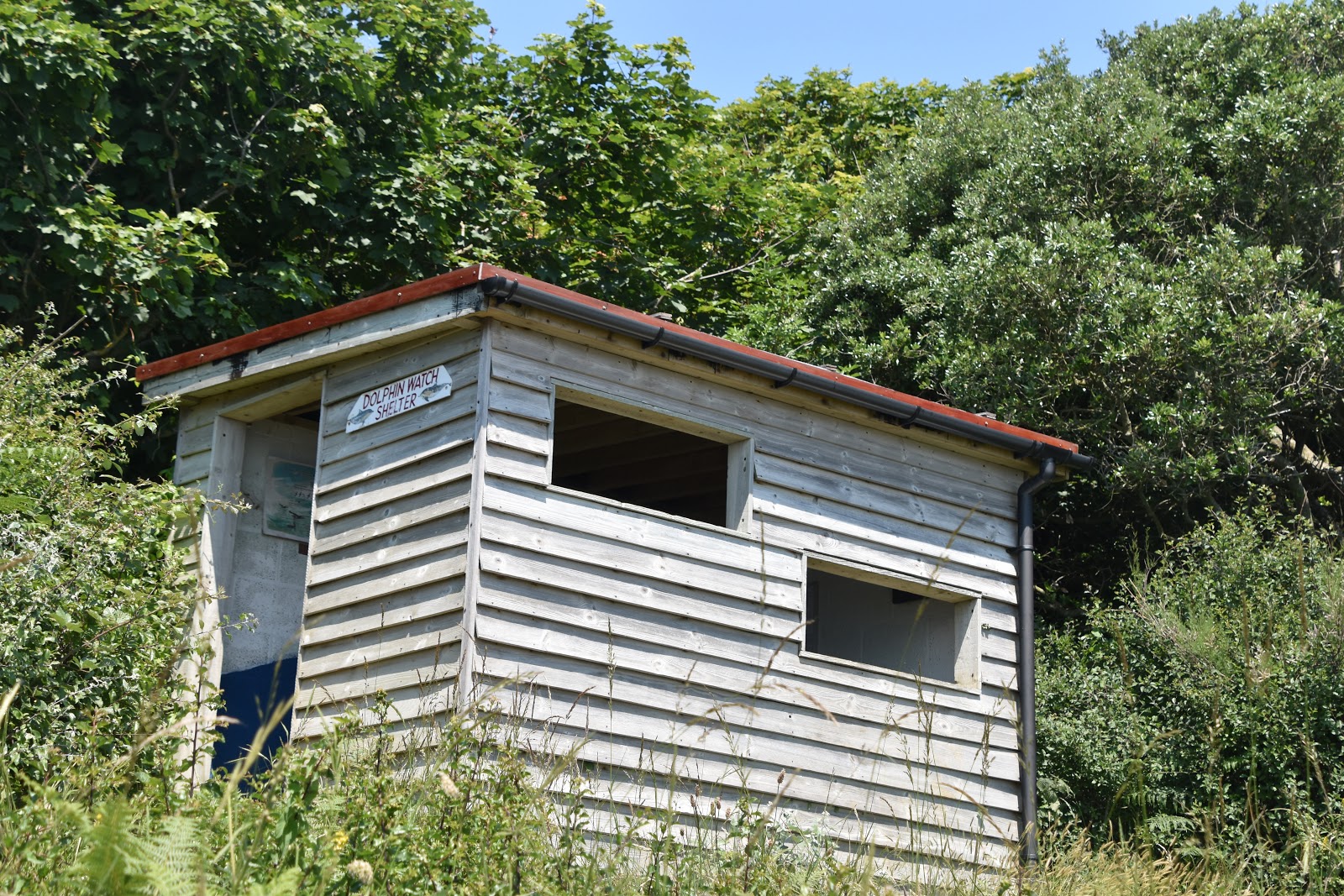
Just up from the caves is what I initially took to be a bird hide but in fact has a rather different function - this small shed with viewing is actually for watching dolphins.  Knowing that I wasn't blessed with a lot of time and that I would need a lot of patience to see any dolphins I decided not to linger but pushed onto the 'castle' at the heart of Durlston Country Park instead.

Dolphin Watch
The castle was built by George Burt, nephew of the founder of Mowlem (the large building company).  Much of the park features architectural salvage from some of the construction projects he was engaged on.  At the heart of it is the castle that was actually (and still is) a restaurant to cater for the visitors to the park.  The whole place is now owned by Dorset County Council rather than the Mowlem/ Burt family.  Nonetheless it did make for a very welcome watering hole and I quickly drained an ice cold pop.

Red Valerian
My way onwards from the park was through a wooded area, which was very welcome as the heat had really built during the morning.  There were peepholes through the trees every so often to see the view beyond and for the first time it was possible to see the Isle of Wight - it almost felt like home territory as I can see the Isle of Wight (albeit the other side) from Worthing!  The path then wound around the end of the park before I had to climb up and out into a housing estate, passing an amazing looking yew tree on the way.

Descent Into Swanage
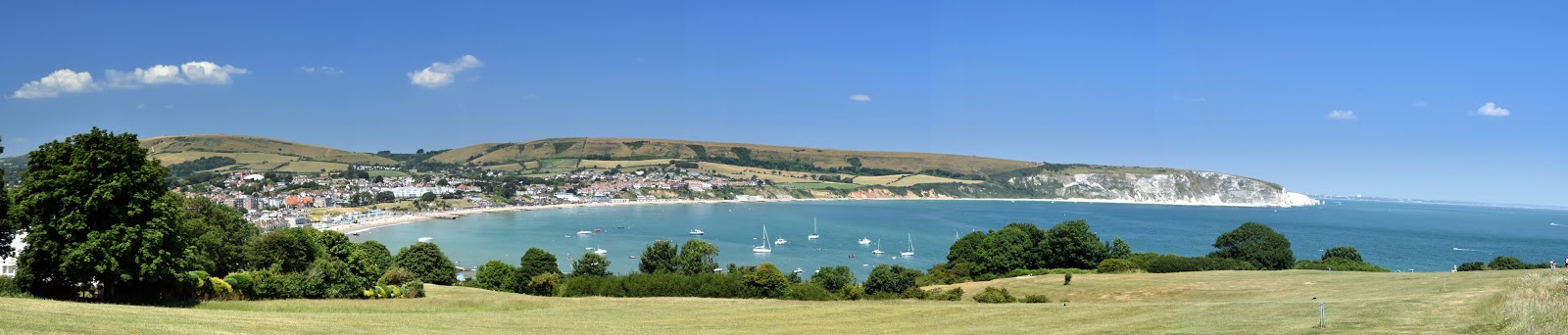
I came out into the light blinking from the powerful sunshine and was pleased that the stretch through the housing estate was pretty short lived.  I turned right along a path that had been adapted for wheelchair use and this led down into Swanage, my destination for the day.  As I got lower down the slope the magnificent situation for the town came into view; for my money this small seaside town has one of the best backdrops of any town anywhere in the UK.  It was also surprising to look back at Durston Country Park - I inadvertantly walked a long way without even realising it!

Swanage Vista
I soon found the main road into Swanage and wandered along into the centre of town. I have to confess the smell of fish and chips soon got up my nose and I just had to have some.  Somthing about the sea air I suppose!  Despite the fact that it was a school day the beach was surprisingly busy and I sat on the promenade wall scoffing my chips and watching the families on the beach with some amusement.  I couldn't help but think that the coastline was already giving way to a holiday coast rather than the rugged one I have been walking all these years.  Only a short hop from here and I would be seeing the end of the walk at South Haven Point.  That remains for another day though...

Swanage Beach