 |
| Pollarded Trees at Earlswood |
Day 5 is an interesting and varied day, with stretches of lonely countryside interspersed with obvious signs of human activity, both past and present. There is a much more discernible ridge once again after the section on the clay vale, although it is much less spectacular than the western end of Surrey.
 |
| Abandoned Tractor |
Park either in Limspfield village or in one of several car parks to the south of the village. The easiest way to get to Earlswood is to use the hourly bus service from Westerham-Redhill, which stops by Limpsfield church. In Redhill the bus stops close to the rail station, from where you could get another bus or train to Earlswood. I found it was just as easy to walk the mile to regain the route although the main road is a bit offputting.
 |
| Friendly Horse |
Regain the Greensand Way by Earlswood church and cross the golf course to Earlswood Lake. This is a haven for wildfowl and when I passed in March there were several Canada geese that had cleared the pond of most of the ducks. Once across the busy A23, you pass through the old Earlswood hospital, a very imposing building that is now being redeveloped for housing. This is the last part of the built up area, for you are soon in open fields with views across to Redhill to the north.
 |
| Abandoned Boat |
At Nutfield you once again regain the ridge after a period of road walking. The path hugs the south side of the ridge and from here there are fine views across the East Surrey countryside to the Weald. At Nutfield I found a detour which was much more walker friendly than the official route, bypassing another section of road walking. Soon you come to the M23, where the way passes through a dark underpass and into the fields beyond.
 |
| Leigh Pond |
The path climbs back on to the ridge and along the tree line. Above the path is a Norman motte and bailey castle though you would be hard-pressed to find any sign of it in the undergrowth. The path passes to the south of Bletchingley village where you see the remnants of an industrial past, with much evidence of quarrying. The path descends the ridge once again and for the next few miles you actually walk along the foot of the ridge through very attractive hangar woods rather than along the top.
 |
| Tilburstow Hill |
At Tilburstow Hill, you cross the busy B2236, an old Roman Road that once went from London down to the Sussex Coast. This can clearly be seen if you look down the line of the road. However the modern road is the A22 some way to the east and even this has been by-passed. Before this however, you reach Leigh Pond, a site of special scientific interest that has existed for hundreds of years. Viewing the pond proved to be quite difficult since there were a number of private houses around its perimeter, whose residents were quite protective of their view! However, you can get a peek at this idyllic spot that was a haven for wildfowl.
 |
| Crossing The Fields at Tilburstow |
Once across the A22 you cross several fields until reaching the village of Tandridge. Here there was a very walker-friendly pub that also offered bed and breakfast in case you wanted to make this into a weekend expedition with the next section.
 |
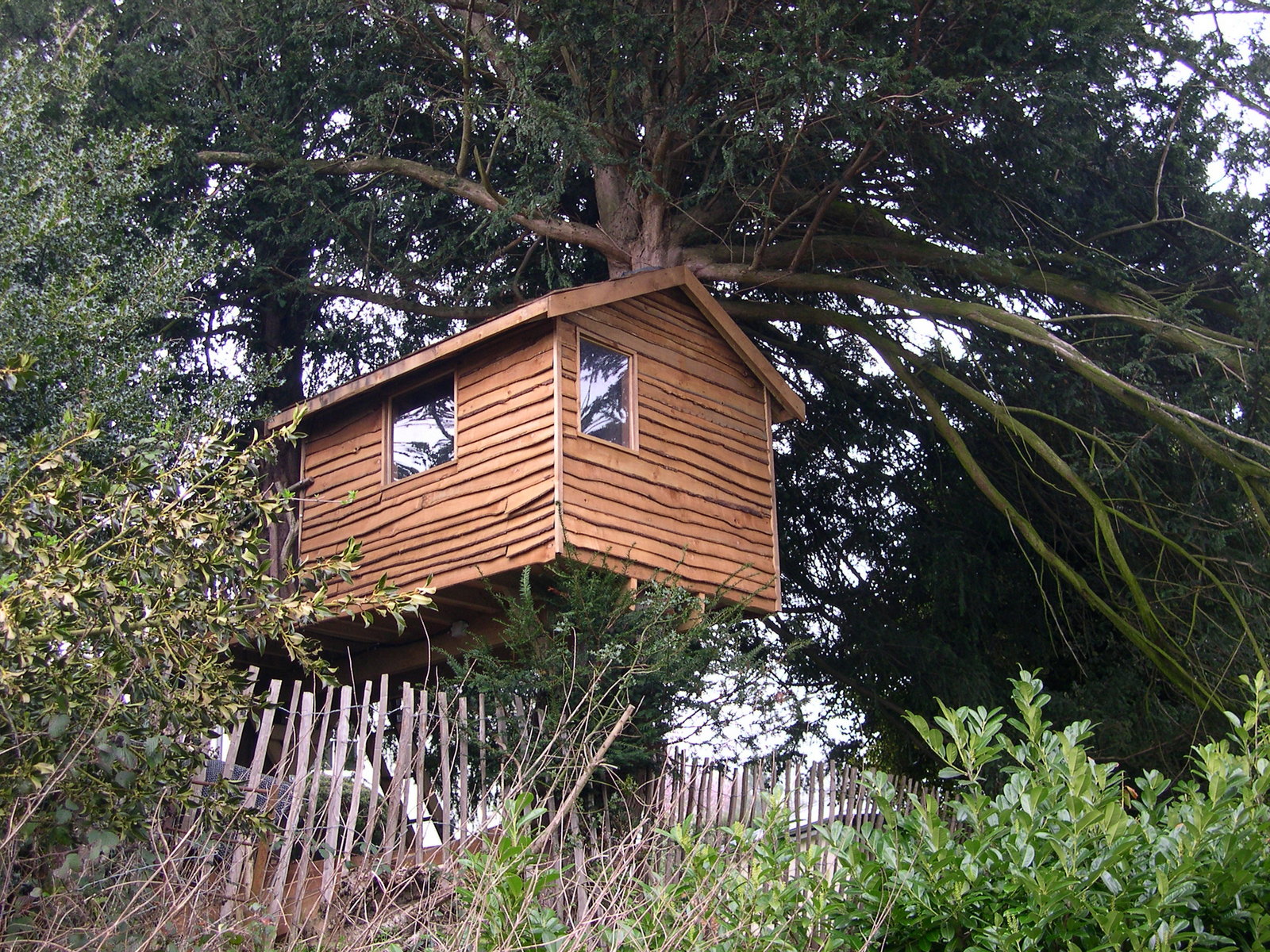
| Tree House |
The path from the village leads across more fields and once again the ridge is harder to define. Eventually you will come to Oxted Mill, a fine old building that has been given a new lease of life by being renovated into a residence. The path now skirts the southern edge of Oxted through some delightful tunnel like lanes caused by overhanging trees before you reach the National Trust owned Limpsfield Common. At this point you can be rejoined with your car.
 |
| Oxted Mill |
This is a fairly easy day, which can be undertaken in about four to five hours depending on your pace. The pub at Tandridge would make for a good overnight stop if you wanted to continue on to Sevenoaks and make a weekend of it.


No comments:
Post a Comment