|
| Dungeness Lighthouse and Mount Baker |
This post will be like a collection of short stories - each walk was of a modest length but overall capture the magic of the Olympic Peninsula in Washington State. Certainly if you are heading in that direction these are probably the main things you will want to see - a combination of magical beaches, rainforests and mountains. We completed these walks over the space of three days on a road trip around the peninsula.
 |
| Dungeness Spit |
We arrived on the peninsula via the ferry at Port Townsend on a rather foggy morning. The fog soon relented however and we were blessed with some wonderful sunshine on day one. We headed to Hurricane Ridge after stopping briefly at Port Townsend but on the way we spotted signs for Dungeness Spit and thought that would be a fun trip for the children on the way.
 |
| Dungeness Beach |
The road to Dungeness was rather further than we thought but when we eventually got there we decided to walk via the scenic route through the trees down to the spit. It was lovely under the shade of the trees on what was becoming a pretty hot day. It was a pleasing walk through the trees and when we got to the far end we dropped down on to the spit. I remember coming here 20 years ago when I lived out here and had a notion that we could walk to the end and being very disappointed when I realised that it was 6 miles to the lighthouse at the far end! These days I wouldn't even contemplate a 12 mile walk along a shingle beach.
 |
| Dungeness Forest Trail |
The spit was named after Dungeness in Britain by explorer George Vancouver who thought that the spit resembled its British counterpart (not sure I see the resemblance). He named most of the English sounding places in these parts. Most other names come from Native Americans. The spit is actually the longest of its kind in the whole of North America. We hung about for quite a while enjoying the ambience of the place and the large amount of logs with their weird shapes that have washed up. Logs and other driftwood are a feature of Pacific Northwest beaches and I suspect can be there for a good many years before they break down by erosion.
 |
| Dungeness Viewpoint |
Having explored the spit and enjoyed the wonderful views across the Strait of Juan De Fuca it was onto somewhere rather different - Hurricane Ridge. This is higher than the highest point in the British Isles at nearly 1600 metres and is accessed by a tortuous road from Port Angeles. Be aware that you have to pay a fee to use the road as you are accessing the Olympic National Park. The pass is good for other places en route later.
 |
| Hurricane Ridge |
The view up here is as astonishing as I anticipated and the weather conditions were absolutely perfect for our trip. It isn't always the case though - some of the storms up here are pretty fierce, hence the name. Considering how long I have spent in these parts it is rather amazing that this was my first ever trip. We headed first for the visitor centre as this was going to close fairly soon. The exhibition was more modest than I expected but it seems that the park rangers offer talks and guided walks if you arrive here at the right times.
 |
| Chipmunk |
The visitor centre closed not long after we got there but with plenty of daylight still left we decided to explore the popular Hurricane Ridge Trail. This is clearly set out for more sedate visitors as it is largely paved. It is an ideal way for disabled people to enjoy the area surrounding the visitor centre and especially the view to the north which you don't get unless you venture further afield.
 |
| Black Tailed Deer |
As we climbed up to the viewpoint above the car we caught sight of some marmots. Cute little fellas they are too! We also saw deer and chipmunks on our little walk on the other side of the ridge where we could see the view down across the Strait of Juan De Fuca and Port Angeles far below us. Victoria was a little out of sight due to a mountain peak being in the way but no doubt if we had more time and ventured over there we could have seen that too. Maybe another trip? There are certainly enough hiking trails here to keep causal walkers going for quite a while. It really felt like we were on top of the world.
 |
| Marmot |
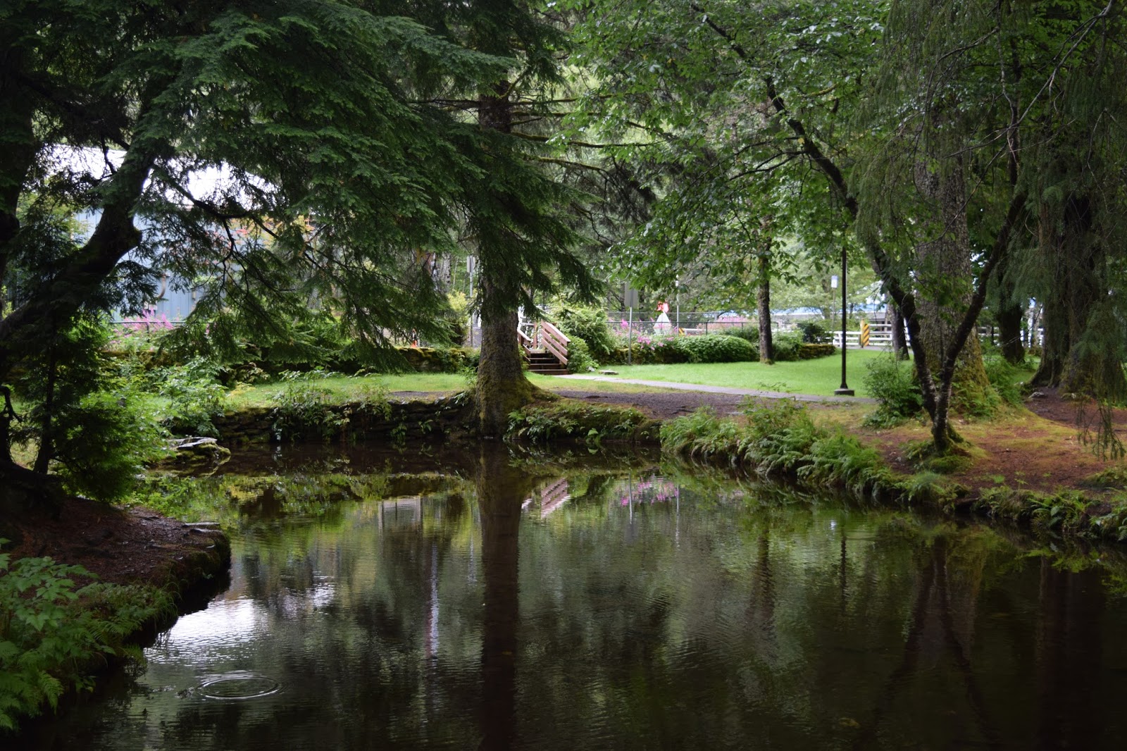
After an overnight stop in Port Angeles we headed west to Lake Crescent where we wanted to find ourselves a camping place. I had clocked this as a particularly good looking place to stay and as we came across it we weren't disappointed as the lake was breathtaking. The water was completely still with the most magnificent reflections of the surrounding forested mountains on its surface.
 |
| Hurricane Ridge Trail |
While at the lake we took some time to walk along the old railroad track that once ran along the shore. I think this was laid largely for the purposes of forestry. With such a sparse population I cannot imagine that there was any intention of ever running passenger trains along here. For the lumber industry though it was a different story - logging was and is big business on the Olympic Peninsula and in the days before reliable road transport trains would have provided the horsepower to remove the logs that built the west coast of America. The walk is now officially called the Spruce Railroad Trail.
 |
| Lake Crescent |
It was a magnificent walk and just what the doctor ordered on such a hot day. We were lucky enough to be sheltered from the sun most of the way. There was little in the way of engineering of the line as it largely followed a natural shelf high up above the lake shore. Across the water there was plenty of activity with visitors kayaking and swimming on sections of 'beach'. Swimmers didn't venture out too far though - this is the second deepest lake in Washington State and I imagine the water is pretty cold away from the shore.
 |
| Spruce Railroad Trail |
On the way along the track bed we came across one very rough looking engineering feature - a blasted out tunnel. There was no attempt to build any lining but looking at how tough the rock looked I donlt suppose there was any need. The path took us around the outside of the tunnel - probably a good thing for there looked like there were chunks of rock that could fall down on us at any time. After about five miles walking along the track we got the sense that we could have gone on a lot longer but in truth the weather rather beat us - it was just way too hot! It was the start of a few scorchers - we were to reach 90 degrees or more for the rest of our trip.
 |
| Former Tunnel |
I always imagined that when I finally got to the Hoh Rain Forest that it would be a dark and dank kind of place. Certainly all the pictures I have ever seen show dripping trees and mist surrounding the place. What we actually got then was a bright sunny day with ever rising temperatures, which gave this normally very wet place a rather different atmosphere to the one I was expecting.
 |
| Kayaking |
The rain forest was heaving with people when we got there. The car park was almost full already as we arrived late morning. It had taken quite a while to get here from the campsite, not helped by stretches of roadworks along the way. The rainforest was quite a way in from Highway 101 too, adding a good 40 minutes onto the journey than we had expected.
 |
| Hoh Rainforest |
Once out of the car the heat hit us. We were thankful for disappearing into the forest along the first of the visitor trails taking us around the main area. At first this seemed a bit of a procession of people but after a while the crowds thinned out and there were sections where we could enjoy the surroundings in peace. The numbers of people had ensured there would be no wildlife however. The moss hanging from the trees was bone dry, in stark contrast to how it normally is. I was fascinated by the old trees becoming nurseries for the new trees after they had fallen. There were also berries forming - a sure sign that autumn is quickly approaching. I imagine in these parts it comes a little earlier than we are used to.
 |
| Hoh Ferns |
After walking around the main trail for a mile or so we decided to make a bigger loop by walking around the next of the trails leading from the visitor centre. This was a slightly longer affair with fewer people. It took us out of the forest at one point as we crossed an area that was once occupied by the local river. This had ensured different types of tree had grown - the so called colonisers. The aspens and birches gave this area a very light and airy feel in contrast to the pine and fir trees elsewhere.
 |
| Hoh River |
As we reached the river we could see that it was relatively empty and we took the opportunity to have a bit of a paddle which was a welcome relief in the hot temperatures. Feeling suitably refreshed we headed back around the loop to the car park. By this point we had cricks in our necks from looking up at the huge trees so much. It certainly was an awe-inspiring place, perhaps lacking the atmosphere I was expecting but nonetheless an amazing visit not even ruined by the numbers of people present.
 |
| Heron |
So far on our road trip my daughter had bored us to death with talk of Forks as it is the scene of the series of books she has been reading (Twilight). She was thrilled to bits to be able to visit in person and even better that we were able to have lunch there! It was a bit of a cheat as we had a Subway sandwich but nevertheless she can now brag about it to her friends. We also indulged her with shots at some of the other sights in the books as we headed on to the beach at La Push.
 |
| La Push Beach |
Maybe it was my impatience but we decided to head to the first beach we came to, which entailed a lengthy walk through the forest before we got there. It was a beautiful walk and the beach was definitely worth the effort to get there. What I didn't realise though was that it wasn't connected to any of the other beaches and so when we got there that was definitely it.
 |
| Stack |
One of the first encounters that we had was with a dead seal. We gave it a wide berth as it was decidedly stinky! Once safely past we headed for some shade - the only problem was that the only shade available was at the very far end of the beach. Undaunted we took our shoes off and headed down the shoreline staying just out of reach of the waves just in case they dragged us in.
 |
| Ruby Beach |
Finally we got to sit on a log just out of the reach of the hot sun. The girls spent quite a long time playing on the beach, building some kind of structure (not sure it could be described as a castle). We just enjoyed the view and the ambiance of our surroundings for half an hour or so. Eventually and somewhat reluctantly we felt we had to go, mostly because we had to make ourselves some dinner before it got dark.
 |
| Sun Flash |
We packed up our tent early on day 3 of our mini trip and headed off for pastures new. We had decided to try for some more beach time along the way if we could get going quickly enough. As we packed up we already had people eyeing up our camping space even though it was pretty early in the morning. We had a woman stake her claim before we had even pull away from the spot.
 |
| Atmospheric |
Our destination was Kelso, quite a long way from our campsite and on a choice of routes; either back the way we came and down through Olympia or around the coastal route. Fortunately we managed to get going early enough that the coastal route was a possibility and we made our way back through Forks and on to Ruby Beach, some distance beyond the Hoh Rain Forest. We were not disappointed with our choice - Ruby Beach car park was already full of cars despite the early hour. Once down the path from the cliff top we could see why it was so popular - the sea stacks on the beach had the early morning sea fret swirling about them providing quite an atmosphere.
 |
| Ruby Beach Island |
We wandered about on the beach for approximately an hour taking in the sights and sounds of the seashore and enjoying the views along the sandy beach and the sea birds flying about. We clambered over the washed up logs to get back up to the car and moved on to the next destination.
 |
| Quinault Ranger Station |
We made pretty decent progress on our journey, with nice quiet roads before us and good speed on what was fast becoming a very hot day. We decided to take a little side tour into the Quinault Rain Forest. This is a bit more off the beaten track than Hoh and not so celebrated but it gave us the opportunity to wander about in a nice shady forest once again.
 |
| Quinault Rain Forest |
We started on the Maple Glade Loop trail, through some of the most mossy covered of all the trees in the area. This loop wasn't very long and as we approached the Kestner Homestead trail we all felt ready for a bit more of a hike and so we continued through the trees and on boardwalks through what should have been a swamp but was anything but during this heatwave. When we got to the Homestead itself it certainly warranted a look around but the temperatures were so hot outside the trees that it was impossible to stay long in the sun.
 |
| Kestner Homestead |
On our way back the path had a different character as we passed by a dry river and then through an area of aspens. The light through this section was quite different for the aspens were starting to field autumn colours in the depth of August. Seemed rather odd when we were dripping with sweat on a day where the temperatures were already in the 90s.
 |
| Mossy |
Once back at the car we headed off towards Aberdeen where we stopped off for an ice cream. By now the temperatures outside were topping 100 degrees Fahrenheit and more walks were seemingly out of the question. Never have I been so glad having air conditioning in the car!
 |
| Nursery Log |
The Olympic Peninsula was fantastic and although I felt we rushed it a little we did get the opportunity to walk around at each of the places we went and get a feel for the natural environment, wildlife and flora. I just wish it hadn't been so hot! Maybe next time we can devote more time and have some cooler conditions.