|
| Helford Passage |
A change of pace from North Cornwall! Having closed off the gap between Bude and Tintagel my next mission was to close the remaining Cornwall gap at the Lizard. I had left this section until last largely because of the transport difficulties that this area poses. I finally decided to admit defeat and get a taxi rather than deal with the lengthy and convoluted public transport options. I used Telstar taxis for both this day and the other day from The Lizard to Coverack. I was met on time by the very reliable and affable driver called Peter - he was very good company on both legs of the journey. On this particular day I didn't meet him until 11am as I had the lengthy drive down from Bude to make first. I got there in good time thankfully - I wasn't sure at one stage.
 |
| Lowland Point |
The day was unrelentingly hot, just as the last two days had been. I was glad therefore that on paper this looked like the easiest day I had remaining. The early part of the walk from Coverack was very pleasant and mostly flat over to Lowland Point. There wasn't a cloud in the sky and with the sun beating down I slapped myself all over with suncream a lot sooner than usual. The path along this section wasn't always distinct and I had to make some best guesses in some cases. The terrain was largely flat but covered in loose boulders and scrubby vegetation of gorse, bracken and heather. I had heard that there was a diversion in place somewhere just after Lowland Point and I wasn't looking forward to heading inland. At Lowland Point I had to dodge a load of cows who were all rather interested in me. I never used to worry about cows until my experience earlier in the year - now I am much more wary.
 |
| Approaching Quarry |
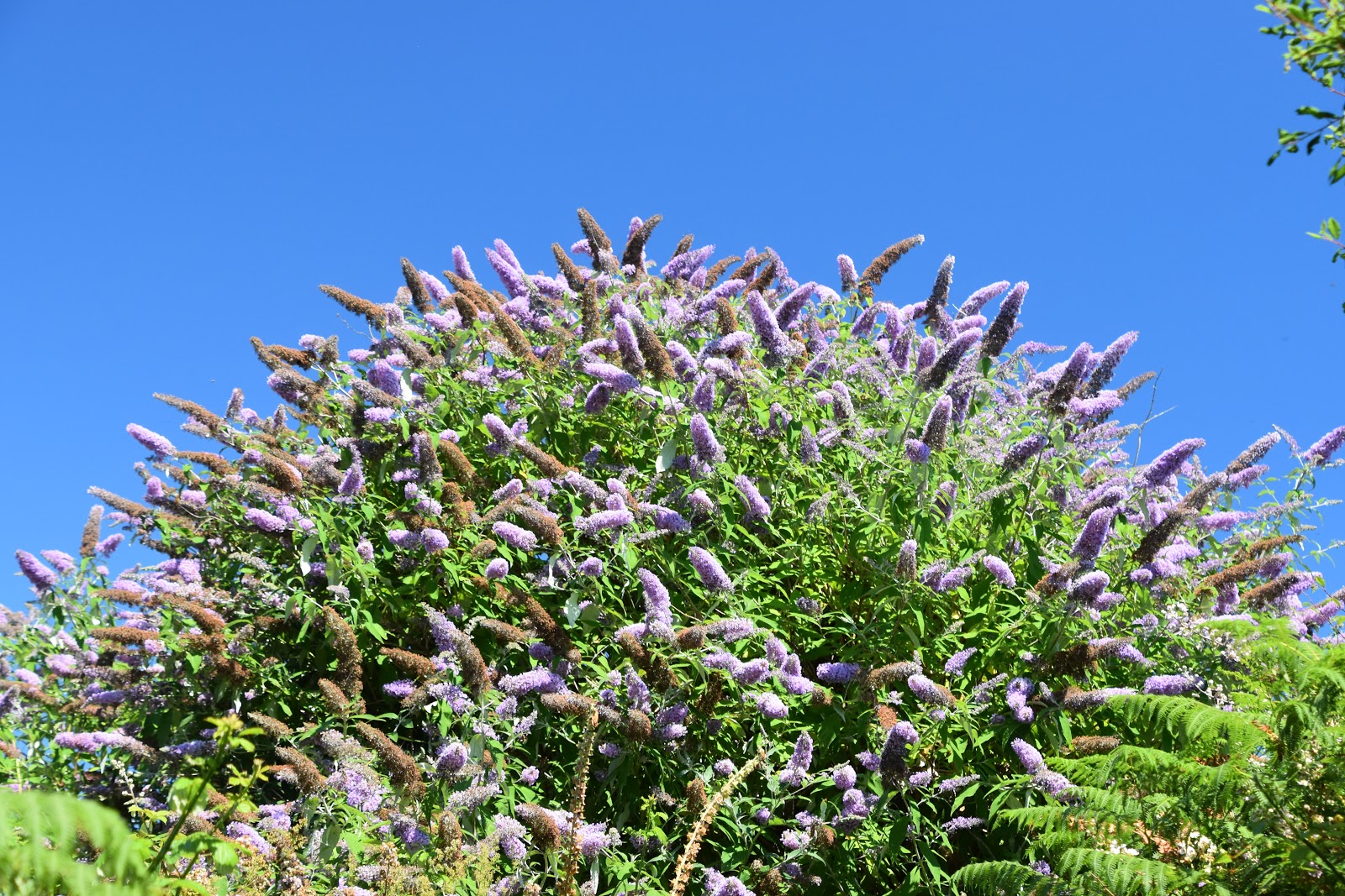
After I passed by I had to negotiate lots of large boulders that looked as if they were serving as some kind of coastal protection. Eventually I came to a very large sign warning of quarrying activity further on but on closer inspection it was pretty faded and I actually wondered how current the advice was. There was a clue in how overgrown the path was; in fact it was unusually so. I put it down to the rapid growth of buddleia bushes, which were the main culprit. As I got closer to the quarry I could quickly see that it was long since abandoned and only the scar of the original industry was left. Just across from the quarry the old dock that was used to ship materials out stood folornly along with some of the buildings associated with the industry. Nature was slowly reclaiming all of it, making for a rather fascinating stretch of path.
 |
| Buddleia |
I crossed to the next cove, where the back edge was covered in a reed bed. I had to be careful here as the path detoured inland to the small village of Rosenithon. As I headed up away from the beach I passed a couple of guys who looked like they were surveyors or something - they were dressed in bright orange construction suits. I rather wanted to see what they were up to but they disappeared across a stile and seemed fairly determined not to engage with me. The path took a route around the back garden of a house and where I was due to meet its access road I was met with a barricade. The penny then dropped - I was at the far end of the diversion. There had been no sign of it at the other end and I had blithely carried on. No wonder there was an overgrown path - it was supposed to be closed! Getting through the barricade wasn't at all easy - the path authorities had clearly done their job. I wasn't about to be thwarted though - retracing my steps and going around the diversion was unthinkable now. I thought I had got away with it but was clocked by the postman who looked rather unsympathetic to my cause.
 |
| Derelict Pier |
Feeling relieved that I had got through I now had some road walking to do, climbing up through the village. I smiled as I saw a small decoration of a skeleton hanging up outside one of the houses - it was captioned 'Dehydrated Coastal Path Walker'. It was a cue to me to make sure I had something to drink! At the top of the hill out of the village I crossed into a field that cut off the corner of the roads and headed diagonally downhill across it and met the road once again. This took me down the steep hill into the village of Porthoustock; a scattering of houses behind a rather industrial looking beach. Over on one side was another dock that looked like it could have something to do with the gabbro quarry I had passed.
 |
| Dehydrated Coastal Path Walker |
I didn't linger, climbing up the slope on the other side of the village and past some delightful fields including one full of flax, that had a beautiful blue hue to it. Sights like these made the climbing easier although to be fair it wasn't anything like as tough as I had encountered on the north coast. At the top I joined another road - much of today's walking was along paths and stretches of road. There isn't really enough available coastline to make this a coast path in quite the same way as other sections. At a crossroads further on I took the only non-road option - a small path that descended through a small avenue of trees before meeting another road and down into the village of Porthallow. This was the village that I stayed in overnight so I took great care to check out the facilities including the pub. It looked very acceptable so I decided to wait until the evening to have my meal there.
 |
| Former Lifeboat Station |
This was the lunchtime stop for other walkers too. A German woman was talking to some fellow walkers outside the pub - I would see her again on the path. She was walking in the opposite direction to me and her ultimate destination for this trip was St Ives. I sat and listened to the conversation with amusement while I scoffed a very welcome ice cream. I mused about all the coast she would traverse in reaching that particular goal - some pretty spectacular sections. I also learned that Porthallow is the halfway point on the path and there is a substantial marker post to commemorate this fact. It seemed rather odd to pass this now that I am so close to completion. By the end of the day I would have completed the whole coast from my starting position to Lulworth Cove - almost half the distance in one stretch.
 |
| Halfway Point |
The next stretch of path from Porthallow to Nare Head was probably the highlight of the day. I climbed up the steps to the side of the house nearest to be the beach passing John's Weather Stone as I did so. I have come across a number of these across the country now - they are amusing at first but perhaps a little whimsical after the first time you see one. The stone accurately predicts the weather depending on how wet it is...
 |
| Small Tortoiseshell |
Once at the top I followed a path through bracken and brambles along the top of a cliff for the most part although it did undulate quite a bit. Views across to Falmouth were now starting to open up and by straining my eyes a bit I could see St Mawes castle way off in the distance, evoking memories of doing the Roseland Peninsula a year ago. My goal was the little lookout spot at Nare Head, now used of course by the National Coastwatch Institute. I have lost count of how many there are of these - they must have been quite a financial burden to the coastguard and no wonder they aren't under state control any more. It is good to know that they are still be used for much the same purpose.
 |
| Nare Head |
Guarding the Coastwatch Institute was a large herd of cows. The volunteers inside the building didn't seem to notice - they were too busy tracking the boats in Falmouth Bay. I walked on by knowing that through a combination of cows and indifference I wouldn't be getting much conversation out of these fellows. I turned instead to a different kind of coast as the path now headed along the shore of Gillan Creek. This was delightful and could easily have rivalled the last stretch had it not been for a lengthy inland diversion due to a rock fall and this rather spoiled my enjoyment.
 |
| St Anthony across Gillan Creek |
I had worried a little about the state of the tide. At Gillan Creek further on I would be able to cross by fording the shallow part if the tide were low enough. Sadly for me it wasn't and I therefore had to face the lengthy walk around the head of the creek to bridge it at Carne. This was going to add more than two miles and include a fairly steep climb, not something I welcomed on such a hot day. I tried to focus on the cold drink I promised myself at the shop on the other side of the creek. I set off on a mission to get this bit done as soon as possible and slogged up the hill. I had to go into a field towards the top and got a bit disorientated as the corn was so tall that I couldn't see where I was supposed to be going. Add some stingers in the mix and by the time I reached the road that marked the top I was properly cursing.
 |
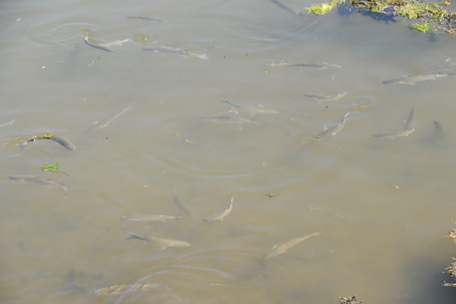
| Mullet |
The remaining part of the walk around to St Anthony-in-Meneage was along the road. This wasn't as bad as it sounds for there was barely any traffic and after reaching the old mill at the end of the creek I turned to walk along a largely shaded stretch of road and progress was quite quick. I cannot say that these extra two miles added much in the way of extra experience though. Apart from the mills, (which were scenic), watching two children going round in a circle in their kayak on the water (not sure they had got the hang of steering) and seeing lots of mullet swimming in the creek this stretch was one I could easily have done without. When I got to St Anthony I was more than ready for a drink. The only shop was at the boatyard but the cold lemonade I got from there was more than welcome.
 |
| St Anthony-In-Meneage |
I had another short climb up out of the village to St Dennis Head. Somewhere in the undergrowth at the top is a watchtower called Little Dennis. I did try and find it but I guess that was always going to be an impossibility at a time of year when vegetation is at a maximum. Instead I settled for the view out across Carrick Roads, which was marvellous. At the end of the headland I swung back to follow down the other side and along another creek - this time Helford Passage. I briefly met the outward path before heading down to the right along a path that at first clung to the top of the cliff alongside a field but eventually dived down into the wood that fringed the creek. This made for nice shady walking but apart from a few welcome glimpses outwards it also meant that I saw little of the creek itself. The tantalising glimpses I did see were fantastic and every so often I came across a small cove that were usually filled with families barbecuing. Sounded like a great plan to me!
 |
| Helford Passage Cove |
As I reached Helford I had to dog leg around some houses in order to find the car park once again. Before leaving I did take the opportunity to walk into the very picturesque village. Only resident cars are allowed and seeing the difficulty a delivery driver had with the ford to access the village it is no wonder. I wandered through the very narrow street to finally reach the ferry crossing. There would be no need for me to do this today since I had already walked the onward leg, way back in 2011. It just remained for me to retrace my steps back to the car and reflect on the day. This was probably the perfect leg to do on such a hot day - it wasn't too challenging although it wasn't without its frustrations.
 |
| Helford Ford |