Showing posts with label Railway Trails. Show all posts

Saturday, 15 July 2017

Cloughton and Hayburn Wyke

Cloughton Station
The last of our walks from the North Yorkshire Moors and another chance to explore some of the old Whitby to Scarborough railway line courtesy of this Pathfinder Guide walk from vol 28 North York Moors (walk number 4).  We decided that after an earlier trip to Scarborough we weren't quite ready to go home and so stopped off to complete this 4.5 mile walk on the way back.
Cinder Track
We did not park in the suggested place in the middle of Cloughton village but instead by the old railway station that has happily been preserved as a tea room and holiday accommodation.  One day I would like to stay here - it looks lovely!  Sadly the place doesn't  open for tea on a Friday so we couldn't try it out.  We did have a little look though - a more picturesque place it would be hard to imagine.

Cloughton Wyke
We headed north along the old railway line for a short distance before finding the bridge that took the official route over the old line.  We corkscrewed around to join the road and headed towards the sea, about half a mile further on.  There was a small car park at  the end of the road and it looked like this spot was a favourite haunt for dog walkers.  I am basing this on the fact that we saw one coming back from her walk with a very satisfied looking dog.  Actually if I owned a dog and lived locally I would probably come here a lot.

Heading Up Through the Woods
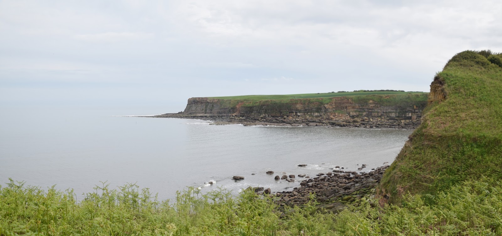
We reached the coast at Cloughton Wyke.  In this part of Yorkshire the name Wyke has a special meaning.  It refers to a beach where you can land a boat and access the interior by means of a path leading from the beach - I guess what I would normally call a cove.  It was a pretty little place almost devoid of people on this rather grey looking late afternoon.  I wonder of more come out when the sun is shining?  I guess most stick to Scarborough a few miles to the south...

Rodger Trod View
We turned left on to the Cleveland Way.  This has long been on my shopping list of walks that I want to complete so this would prove to be a nice taster.  As with all coastal walks there was quite a lot of ups and downs and to the annoyance of my children we had a bit of a workout to get to the top of Rodger Trod.  In truth though we only climbed about 200 feet - not exactly mountain climbing...

Painted Lady
All along teh route there was a profusion of wild flowers.  The last hardy bluebell was still in evidence but mostly we saw campion, buttercups and various types of hogweed/ cow parsley/ wild carrot that I can never quite distinguish.  There were also lots of butterflies, mostly Hedge and Meadow Browns but also Red Admirals and the rather more elusive Painted Ladys.  When we got to the top of the hill on the narrow path between high vegetation growth and then via some wooden steps in a wood we took a little breather.  Our view back now took in the bay to the north of Scarborough and the brooding castle that we had visited earlier in the day.  It was quite the view but better was soon to come as we headed slightly downhill to the north.

Red Admiral
Very soon Hayburn Wyke came into view and for my money this was the undoubted highlight of the walk.  We could see quite a way along the coast but it was down to the beach in the Wyke that it was particularly special.  Even the sun was trying its best to come out from behind the thick cloud now, raising hopes that we would finally see some after a steely grey day.  As we slowly descende into the Wyke the unmistakeable roar of a Spitfire came from some way away and before we knew it passed by just overhead.  I think there must have been an airshow nearby for we had heard it a couple of other times during the week without actually managing to see it.

Spitfore
Soon we reached aother wood and our gentle descent suddenly became quite a steep one as the path dropped almost down to sea level once again.  In fact I peeled off from the girls to take a little look at the beach itself.  The stream that had done its best to carve a valley down to the bottom finally gave up just before the beach and tumbled over a small waterfall to reach the sea.  I didn't hang around too long for fear of getting left behind but I needn't have worried for I caught them all up about halfway up the hill.  We had left the Cleveland Way at this point and headed back towards the old railway.

Hayburn Wyke
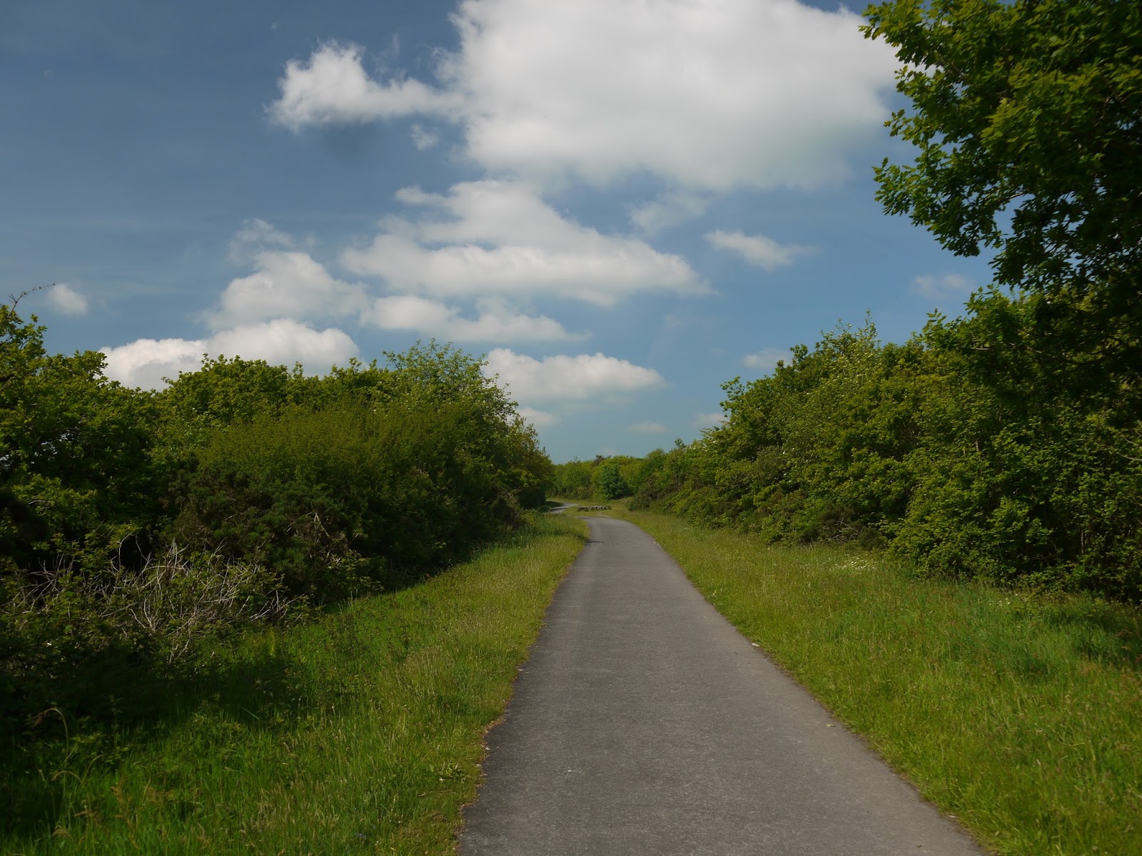
As we got to the top we could see the old station of Hayburn Wyke in the trees ahead.  I wonder how many people would use the station now if it were still functioning?  I imagine that the hotel that we passed nearby would welcome it for it would be another source of revenue.  It looked a lovely spot and had some activity about it; heartening to see for a fairly out of the way place.  We soon rejoined the railway line.  This would be our companion for the remaining part of the walk.  I reckon we followed it for nigh on 2 miles and it made for much easier walking than the path through the woods where we had come from.  Looking at the map it looked as if there were a lot of opportunities for these out and back walks using a combination of the Cleveland Way and the Cinder Track.  I think if I were to live locally I would be trying out all the permutations for this one was a delight.

Waterfall
The walk back along the railway line was quite relaxing although we did have a slightly scary moment when we found a car coming up the track.  I soon realised that it was an access road for a cottage that we soon passed.  It begged the question of how the residents got to it when the railway was functioning?  Eventually we got back to the station but before we did we took a moment to admire a fairy den that had been created under the roots of a fallen tree.  Now there is an awful lot of stuff there but it did make me wonder how it started?

View From the Cinder Track
This was rather modest walk but  packed a lot into the short distance.  A couple of stiff climbs, some expansive views of the coast, two of the old stations on the Cinder Track and plenty of nature in the form of flowers, butterflies and seabirds.  Not bad for an hour and a half walk!

Fairy Station

Sunday, 2 July 2017

The Cinder Track

Cinder Track
When we decided to go to Whitby for our Whitsun holiday I did think it would be fun to take the children cycling along an old railway for the first time and was pleased that we found a bike hire place at Hawsker so we didn't have to lug our own bikes there.  It wasn't particularly cheap though - probably the most I have ever paid for a day's bike hire.  The hire place is based at the old station at Hawsker.

Hawsker Station
The Whitby to Scarborough Railway was opened in 1885 towards the end of the railway building era and lasted until the Beeching cuts of the 1960s, eventually succumbing in 1965.  In truth it wasn't ever likely to survive due to the operational difficulties that the railway companies had.  It was built fairly cheaply and had some steep gradients along its length.  Perhaps the most difficult aspects though were the connections at each end of the line where trains had to be reversed to enter the stations at Scarborough and Whitby, disrupting other services considerably in the process.

Down Into Whitby
With this being the girls' first experience of riding such a route we decided to go towards Whitby to begin with as I thought that this would be a quieter prospect.  It would also give us the opportunity to take a look at one of the most impressive engineering features on the whole line, the 13 arch brick viaduct that spans the River Esk.  The route from Hawsker is largely downhill and this provided an opportunity for the girls to get used to the new bikes without too much difficulty.  What I hadn't banked on was the steepness of the descent.  One imagines that railway lines are largely flat but in my experience some of these closed lines actually have quite steep gradients, as in this case.  It was quite exhilarating riding down into Whitby and some of the views along the way were quite memorable.  This is not a railway largely confined to a tree lined tunnel.

Larpool Viaduct View East
At the bottom of the hill we stopped at Larpool Viaduct and admired the view across to Whitby Abbey.  Both structures are mentioned in Bram Stoker's famous novel Dracula and we had had that on in the car for the duration of the holiday.  The trail goes on a little way further towards the former station at Whitby West Cliff but we didn't venture further on.  By now the day was warming up considerably and the ride back to Hawsker was quite tiring.  When we met a very large rambling group three quarters of the way back we were happy to stop and wait for them to pass by so we could have a breather.

Larpool Viaduct View West
Hawsker station has been restored beautifully and hosts a couple of railway carriages that act as offices for the cycle hire business but also as rather novel places to stay.  Holiday accommodation of this nature used to be quite commonplace and it is good to see this tradition maintained here.

Whitby Abbey From Larpool
Any thoughts that Hawsker would be the top of the hill were soon dispelled however as the old line kept climbing.  It was also quite narrow in places, largely because the original track formation was only a single line and with encroachment from vegetation we sometimes only had the width of cycle + rider to work with.  Just beyond Hawsker we crossed the road via a pedestrian crossing.  When the railway was operational this would have been crossed underneath the road and frankly it would be very welcome if that style of crossing could be restored, for both drivers and cyclists.

Chugging Through Hawsker Station
The line continued to head uphill for a further half mile or so.  As we climbed the view back towards Whitby opened up and a mighty fine view it was.  At the top we crossed a smaller road the track widened considerably as we passed through a shallow cutting.  The surface though was not agreeable.  The line is now known as the cinder track due to the nature of the surface but here the cinder pieces were quite big and that led to rather a rough ride for a while.  Further on we turned away from Whitby for good and had a new perspective on the coast.  For railway passengers this must have been delightful to travel.  On a warm early summer's day by bike it was a pleasure too and soon the line began to descend again this time for quite a long way down into Robin Hood's Bay, the next station on the line.

Orchids
As we rounded the coast the view across the bay was quite magnificent.  The gradient got a lot steeper too and it wasn't difficult to imagine the struggles of the trains coming along this route.  I don't remember a railway line with such steep gradients (with the possible exception of the High Peak Trail in Derbyshire - but that had inclines) and I certainly wasn't looking forward to the return journey.

Approaching Robin Hood's Bay
We got to Robin's Hood Bay in time for lunch.  The track ran out as the houses started; it plots a course through the housing and crossed the road although the bridge is now missing.  There is a large car park in the area that was once the station yard and we left our bikes there while we explored the town and the beach.  I hadn't been here since I was a boy but it was pleasing to see how little had changed from how I remembered it.  The only thing that was different was the amount of visitors - the place was rammed.  We spent a good deal of time on the beach as it was low tide and the children really enjoyed looking in all the rock pools.  I watched one in particular and was rewarded when I saw a very large crab wandering along trying to stay out of sight by hiding in the seaweed.

Robin Hood's Bay Station
After a lengthy  break we got back on our bikes at Robin Hood's Bay Station and headed on towards Ravenscar.  The station itself is intact and looking in splendid condition as a set of holiday accommodations.  I think it would be a great place to base ourselves if we came again.  The track proper recommenced further on after crossing a main road and we soon resumed the winding track.  Now the track was more wooded and there were only brief glimpses of the surrounding countryside.  We were noticeably going uphill too - this was something we had to contend with all the way to Ravenscar.  We passed by a farm and a caravan site and I wondered where it was that we camped when I was a boy - it was around here somewhere.  Too many years have passed though for me to remember.
Narrow Streets

As we got towards Fyling Hall Station a couple of the bridges had been removed and we had to cross roads.  I always find this slightly annoying on railway lines.  The short term gain of the scrap value of the bridges mean that we all have to pay decades later.  Fyling Hall Station is still just about intact although I had to pay attention for the erstwhile platforms are being absorbed back into nature.  The station masters house is in rude health though and it is that which you should look out for to give you a clue about the platforms.
Robin Hood's Bay From Beach

We crossed more roads and continued our plod uphill.  The line was becoming more rural than ever now and it is interesting that this is the only route that directly linked Robin Hood's Bay with Ravenscar.  All the roads head inland and it is quite a lot further between the two settlements by road than it ever was by rail.  The 13 minute rail journey has now been replaced by a bus journey requiring one change and taking more than an hour.  That's progress?

Robin Hood's Bay Beach
The route gradient increased markedly as we got closer to Ravenscar before the trackbed is left for a short stretch while the line heads through a tunnel (this is off limits).  Apparently trains used to often struggle when they got to the tunnel as the climb up here was 1 in 39 and engines would stall as they git inside the tunnel. We continued on to the station which is clearly visible although only the down platform remains.  What is more remarkable is the station approach.  This is a grandly laid out square, upon which there is a set of buildings that hint at something grander following their construction.

Sustrans Pointer
In fact Ravenscar is often billed as the town that never was.  Back at the turn of the 20th Century developers laid out plans for a much larger town and streets and infrastructure was laid out.  Much of the speculation did not materialise though as the trek down to the rocky beach deterred visitors who preferred other nearby places.  Developers never built the buildings that would have ensured the growth of the town and it was left as a backwater.  It is a most curious place to wander round now as a result.

Fyling Hall Station
At Ravenscar we headed back.  It is possible to continue on the Cinder Track all the way to Scarborough but none of us had the energy to proceed and in any event we were on a timescale with the hired bikes.  We also remembered that the way back was going to be quite a slog especially leaving Robin Hood's Bay.  We had slow progress going back but the girls had a thoroughly good time and I have no doubt that we will be doing something similar again in the near future.

Ravenscar

Tuesday, 21 June 2016

The Granite Way

Okehampton Castle
It's been a long while since I posted a cycle trip on this blog but a recent trip to Devon warranted an exploration of one of the County's excellent network of paths.  The closure of extensive swathes of the rail network during the Beeching era has proven to be a mixed blessing for this very rural county.  Large areas of the county are now devoid of a rail connection but the flip side to this is that many of the routes were bought by Devon County Council following closure and have been converted into cycle ways, of which the Granite Way is the most recent example.

Okehampton Station
The Granite Way follows the former London and South Western Railway line that once connected Exeter and Plymouth via a route north of Dartmoor.  The section followed leads south west from the town of Okehampton for a distance of approximately 8 miles to the small village of Lydford.  Okehampton Station is something of a strange survivor - it was spared the ignominy of being closed by Dr Beeching and rather weirdly left at the end of a branch line from the still open Exeter to Barnstaple line.  The onward connections to Bude and Plymouth via Tavistock are long since gone and Okehampton itself lost its services in 1972 when there was obviously a realisation that the line wasn't really viable on its own.

Dartmoor Railway
Yet, Okehampton survived thanks to a large quarry nearby, which left the freight line connection in place until the late 1990s when rail traffic was no longer needed.  This left enough time for a heritage railway operation to get going and as Okehampton station was still in place this became the natural headquarters for the new rail operation.  A youth hostel and bike hire place also found their way here.  Surprisingly the connection to the National Rail Network was also restored albeit on Sundays and occasional other days only.  There is a long term ambition to restore the whole line back through Tavistock to Plymouth although there are no firm plans at present to implement this.  Keeping the line intact for a cycle path is probably a good way to help with these ambitions.

Shared Corridor
We hired our bicycles for the whole day.  For slightly less cost you can hire for a shorter time but being such a lovely day and with as much time as we wanted to take there seemed little point in hurrying.  Initially the route would not be on the line of the railway itself (for it still exists for the heritage operation!).  Instead we had to go down the steep Railway Approach road and then hook a sharp left after the under bridge in order to gain the route.  For the first little bit the route then follows alongside the track, presumably using the same formation but on the line of the second track (it is only a single track operation now).

Milepost
Soon a gap in the trees opened up and the old Norman Castle in Okehampton could be seen.  From this angle at least it was pretty obvious why the castle was built in such a location.  There is a great view from there over the surrounding countryside although cyclists will only get a glimpse as soon the view is blocked by a thick hedgerow.  This stretch of line seemed pretty long too, which was a bit of a blessing as I got used to the bike.  As we came upon the Okehampton By-pass the railway disappeared through a concrete tunnel.  There wasn't room for us and so the path drops away steeply to the right and finds its way through an equally claustrophobic tunnel to cross the A30.  Climbing up through here was surprisingly steep too and I had to work the gears a bit to get to the top.  Negotiating the gates was a little awkward too, but thankfully once through it was a straight run thereafter.

Meldon Quarry Station
We continued along the side of the railway for a little further before the extensive sidings at Meldon Quarry came into view.  The Quarry's status is currently 'mothballed' although it could re-open at any time.  Ironically given its location at the end of a 15 mile long branch line after closure of all the other routes, most of the stone that came from Meldon was used for railway ballast.  Now it is home to the sort of rag tag and bob tail collection of rolling stock and various railway vehicles in a range of states of repair.  I lingered for a while taking it all in.  Perhaps the aspect of the scene that most struck me is that I remember a lot of this equipment in fare-paying service and not as museum pieces.  Does that qualify for me being old?  It is starting to feel like it!

Meldon Quarry
At Meldon Quarry is a small station that is used as the western terminus of the line.  It is nearby an old workman's station that existed here during British Rail days.  As the quarry is tricky to get to by road the station was pretty much the only means of access for workers getting to nearby Okehampton where most of them lived.  There is still no real access by road by the cycle path is an obvious alternative now (but then there are no workers!).

Meldon Viaduct
Beyond the quarry is perhaps the most significant structure on the whole line - the magnificent wrought iron Meldon Viaduct.  What a joy it is to still be able to travel across such a magnificent structure, even if it is by bicycle rather than on a train.  Indeed Network Rail have stated that the old viaduct is no longer strong enough to carry a train and it would have to be replaced if the line were ever to re-open.  I guess this is a significant obstacle to re-opening proposals.  The six truss viaduct is over 150m long and 46 m high.  Dartmoor looms up above it to the south and the reservoir at Meldon is just beyond.  The viaduct actually had to carry road traffic across it while the dam was being constructed in the early 1970s.

Junction with Bude Branch
Having cleared the viaduct the path descend into trees and continues without its railway companion.  I also got the sense that I was starting to head downhill for the going started feeling a little easier.  No long after and I came to what I assumed was an artwork installation or was it just picnic benches?  A family was camped out having a picnic so they obviously assumed the latter.  I decided to wait on a picture of the installation for when I came back later in the day.  Annoyingly I completely forgot so I have no picture of said installation.  I later discovered that this marked the junction for the Bude branch, one of the many destinations for the famed Atlantic Coast Express from London Waterloo to Devon and Cornwall resorts.  Given that the junction is masked by bushes and trees I suppose I could be forgiven for not really knowing it was there...

Sourton Church
The onward track provided some fantastic views of Dartmoor and was largely a very open route, unlike some of the tree tunnels that I have witness elsewhere.  I guess the inclement weather associated with this area during the winter has helped arrest the growth of trees too much?  Rhododendrons and may blossom provided some wonderful colour alongside the trackbed.  Cycling was incredibly easy too for the surface of the Granite Way is tarmac almost the whole way apart from a short gap which we were going to come across fairly soon.

Lake Viaduct
I paused briefly at Sourton to admire the church alongside the track.  Fortunately the old sections of diversion in this area no longer apply and the way is clear beyond.  It is also quite significantly downhill for I really motored along this part.  It wasn't long past here though that I came to a juddering halt for the path reduces to a narrow section winding between the trees and has clearly been left unimproved.  This section is privately owned still and no attempt has been made to improve the track surface.  Fortunately it is only a short section and once through the gate marking the southern end it was back to tarmac path again.  I am guessing that negotiations are underway to include this section officially for there was no attempt to divert us on to a nearby pathway or road.

Platelayer's Hut
Just beyond this section and we came to Lake Viaduct.  This is a more conventional stone viaduct and having been spoiled by Meldon it wasn't quite as spectacular.  Nevertheless there was a lot of activity on the viaduct deck as we approached for it looked like a school group were birdwatching from the parapet.  We paused briefly to look at the view and after enjoying what we saw we pressed on.  The onward path had a platelayer's hut still guarding the way - a real relic from the past!

Bridestowe Station
Not long after the viaduct and the path took an obvious detour away from the trackbed.  This is because we were approaching the only official station between Okehampton and Lydford, the small one at Bridestowe.  This is now a private dwelling that is very much out of sight.  However the footbridge is still intact and the station is in pretty good shape in its new guise.  I wouldn't mind betting that the owner still has an urge to catch a train from his front garden every now and again.  I cannot imagine there were very many passengers using the station though - it is a long way from Bridestowe (more than a mile).

Lydford Castle
Onward from here and it was actually a surprising short stretch to Lydford and the presence of Dartmoor for the last section is a lot less obvious.  When the end does come it is a little unexpected for the tarmac path takes the form of a slip road when it reaches an over-bridge leading the cyclist up to the road into the village.  The trackbed continues as an overgrown and unloved former transport corridor to Lydford Station beyond.  Hopefully this onward section of the railway path will be reopened too?  It would be good to see it join up with the Drake's Trail onward into Plymouth.

Lydford Church
As a cycle path this is a joy to cycle - the scenery is magnificent and the going is easy.  Be aware though that Okehampton to Lydford is largely downhill while the return is steadily uphill.  With a relatively modest length (8 miles) it is an easy one to do in a short day but I would suggest that you combine it with a walk around Lydford Gorge (that is where we are headed next) and possibly even a peek at Lydford Castle and a pub lunch in the welcoming pub next door.  As an all day outing I can certainly not praise it enough!

Tuesday, 25 March 2014

Great Southern of Spain Railway


Sculpture Trail


Just down the road from our villa in Spain we always had to pass under a bridge of a disused railway. Never one to let something like that go unnoticed I was curious about where the line had once connected and set about investigating.  Apparently the line was originally built by a consortium of British developers as a route from Lorca to Granada.  Sadly the line was not a success from the beginning, passenger numbers in the lightly populated Almanzora valley were very sparse and the line relied heavily on freight traffic.  Not only that but the line didn’t make it to Granada until a lot later when it was absorbed into the national network of railways.
Sculpture


In the early years the freight was largely poor quality iron ore and agricultural produce but marble was transported later on.  The line finally succumbed to closure in 1985 and some of the line has been turned into a greenway (quite common in Spain), while much of the rest has just been left to its own devices.  A surprising amount is still left.
Dry River Bed

When we had driven through the small town of Fines a few days earlier I had caught sight of a derelict station, complete with much of the old infrastructure including a rusty old crane, station buildings and even the water tank.  I thought that would probably make for a good place to start exploring although I had also seen other sections of greenway further on.

End of the Improved Section


We drove the short distance from Albox but when we got to Fines we discovered that the railway line was actually the wrong side of a very busy road from where we could park and so we headed over to a nearby built up area about a mile or so further along the line.  Here the line itself had been converted into a greenway for cyclists and was complete with a range of sculptures.  These were all a similar style but represented countries from all around the world and other regions of Spain.  It was all rather curious as clearly there had been a significant amount of money spent on it.  All around was the affliction of neglected and half finished buildings, which seems so prevalent in these parts.

Fines-Olula Water Tower


Our walk over to the former station was more of a stroll than a hike and along the way we were able to admire some of the spring plants including rosemary, almond blossom and orange groves.  It was all very pleasant and the walk was going very well until we reached the bridge just before Fines-Olula Station, where the engineered greenway suddenly stopped and our onward route was just a rough track.  We were able to access the old station though and it was in a sorry state.  Nearly 30 years of neglect had set in, although its very existence was a miracle as a nearby road scheme had threatened to engulf it completely.  Yet here it stood as a curiosity for passing motorists on the (inevitably) half finished Almanzora motorway.  A lot of relics had survived although they are quite badly vandalised.  These included a passenger station building, goods shed, water tower and crane and a shattered looking toilet block.

Fines-Olula Station


Apparently one of the main exports from this station was marble sinks and headstones from the nearby marble quarries.  There was enough traffic along the line for there to be a passing loop at the station but there are no remains of the passenger platforms left.
Zurgena Station


Beyond the station the former level crossing had disappeared under the improved road scheme and the cycle path continued out towards Baza, the ultimate westerly destination of the railway.  I enjoyed looking around Fines-Olula station although it did feel like I was trespassing.  Yet there were no fences keeping us out and it was only the lack of surfacing to the path that made me feel we shouldn’t be there.

Play Area Water Crane


Once we returned to the car we returned towards the nearby town of La Alfoquia.  This small town grew up around the station of Zurgena, a village a couple of kilometres away.  The station was adopted by the local community after closure and fully renovated and is now used as a community facility including picnic areas, play areas and buildings used for education and gatherings.  The renovation is superb and shows what can be done with these old spaces.

Cucador Viaduct


The space afforded for the station was quite surprising considering that the station saw only a few trains per day for most of its existence.  These were largely for freight, although there was a daily mail train and at least one of the freight trains doubled as a passenger train.  The freight that ran from here was mostly iron ore and agricultural produce.  The style of the architecture was broadly similar to the station at Fines-Olula but there was none of the destruction and desolation of that station, only love and attention.  The contrast could not have been more stark.
Almanzora Track Bed


I was keen to see more so once back at the villa I headed down the dry river bed to the viaduct at the bottom of the valley and walked some more of the trackbed.  The engineering challenges of the builders of the line were immediately apparent when I saw the thick rock that they had had to blast through in order to keep a level route.
Andalucian Flowers


The viaduct was worth a mention.  This beautiful and graceful structure fits its surroundings so well and the golden stone looked particularly good in the late afternoon sunshine.  I took a good look around it before heading eastwards where I had heard there was a tunnel to look at.  I walked along the rather difficult surface of ballast through the rather parched landscape of the Almanzora river.  However, any sense of this being a desert is a bit misleading as the valley is very productive with orange and lemon groves, almond trees, pomegranates and olives.  All along the side of the trackbed I could see little splashes of colour provided by the early spring flowers.  I wasn’t sure that it was an official path, but soon realised that it was used locally when a couple of quad bikes roared past me.

Level Crossing


Eventually after a mile or so I gave up on the prospect of finding the tunnel as I couldn’t see it and time was pressing.  That was a pity because I later found out that if I had been a bit more patient I would have found it as it lay only half a mile or so further on.  Given the success of the overall trip I have a feeling this might not be the last time we come here so maybe next time?  I also understand that there are other stretches that are worth exploring including Albox station and some more reconstructed sections of greenway further west.  I hope that one day I might get another opportunity to take a look.