 |
| Hartland Quay |
It was with much relief that I woke to find that the fog had lifted overnight and replaced by a fresh sunlit day. This meant I could proceed with the plan I had yesterday to walk the section between Hartland Quay and Morwenstow. Before I did I had the whole morning to kill since I would again be taking the one bus per day that calls into the tiny village of Morwenstow on its way from Bude to Hartland village. It did provide the opportunity for me to explore Tintagel Castle, which I had managed to see very little of during my last visit to the village. It was a wrong that I am glad I had the opportunity to put right.
 |
| Foxgloves |
In my enthusiasm to get to the bus on time I managed to get there an hour early and I was pretty pleased that it was a nice warm day for the wait would have been unbearable otherwise. Eventually the bus came and I switched places with one person who got off. I wonder how long the service will last with such meagre clientele? We seemed to take forever to get to Hartland with the bus going in and out of lanes to pick up non-existent passengers, turning round and heading back out again. We did this at least four times before we got to our destination. Amazingly the bus connects with one that heads over to Bideford.
 |
| Painted Lady |
Hartland village was deserted but the road down to the Quay was anything but. This wasn't a pleasant walk but rather more palatable downhill than it was uphill from the coast when I was last in these parts in 2013. Eventually I got to the church in Stoke village. It was every bit as tall as I remember it. I didn't go inside as I thought about the miles ahead that I had to do and wanted to crack on. Luckily this ended the road walking as just past the church the path took a course through a hollow hedge for a short stretch and then out onto a field. I headed for the Pleasure House, the rather strange folly that I remember from last time on this section of coast. Now reunited with the coast path at last it was a short step from here down to Hartland Quay past the rather exquisite Rocket House.
 |
| Black Sheep |
Hartland Quay is quite an oddity. No longer a working quay it is rather remarkable it was ever used at all such is the treacherous looking coastline hereabouts. Many ships didn't make it to the quay and the coast is littered with wrecks. Now the buildings that served the quay are a hotel, pub, shop and even a small museum. I provisioned myself and cracked on with what promised to be a challenging walk. Given my late start it was already mid afternoon so I was not over-blessed with time. A steep climb ensued and it was pretty clear that this was going to be a stretch of coast that had suffered from quite a lot of cliff erosion judging by the moved fence lines.
 |
| Thou Shalt Not Pass |
Apart from the initial steep climb the first part of the walk wasn't too bad. Once I had gained a bit of height the rather incredible rock formations carved out by the sea on the wave cut platform became evident. Ahead of me was St Catherine's Point, an almost perfect conical shape but already being nibbled by the sea. At the bottom was a delightful waterfall, doing its bit for erosion too. I reckon that within a thousand or so years this will have disappeared altogether and the sea will have claimed her prize. I was relieved to see that the path went around the hill and not up and over it. Surrounding the bottom was a field full of black sheep. I wondered whether there was a 'white sheep of the family' but evidently not. I can honestly say that this is the first time I have ever seen a field exclusively filled with black sheep.
 |
| Speke's Mill Mouth |
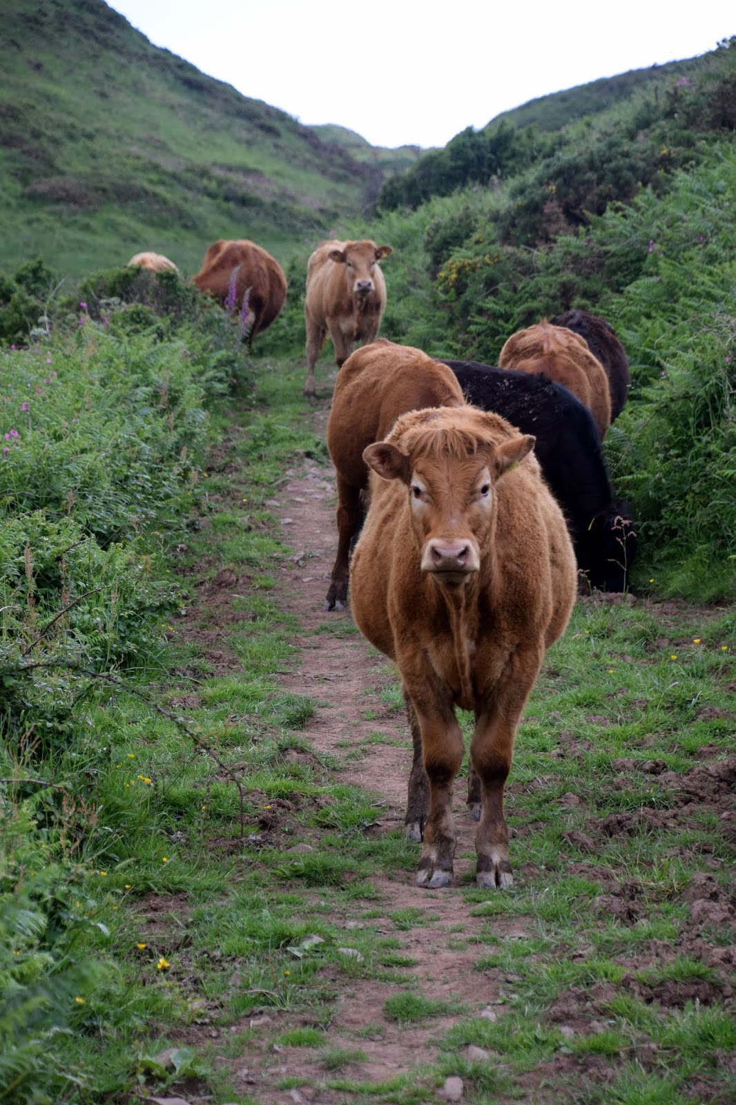
A little further on and I came upon the fabulous Speke's Hill Mouth complete with waterfall. This is one of the most famous spots on the coast path and rightly so. However, without a drone to take an overhead shot from it isn't easy to get a picture that does the place justice. I walked a little way up the valley behind the falls and was warned that the cows blocking my path were a bit testy. Lucky for me they moved off just far enough away that I could cross the bridge across the stream safely and proceed on my way. I then had the choice of the clifftop route and the valley route going forward. This turned out to be the wrong choice as further up the valley I came upon another herd of cows that completely blocked my way and didn't look like they were in the mood for moving on. The first couple moved out of the way but there was one behind that looked more determined and I could envisage her big horns coming for me and so I decided to take a detour up the slope away from the path.
 |
| Mansley Cliff |
I'm not sure I was quite prepared for how far up the slope I would have to get before finding the other path but it was good practice for what would be coming later. Once I was at the top of this slope I faced some relatively easy walking for a while on mostly level cliffs with just small undulations. Mansley Cliff was particularly striking especially against the sunshine lighting up a dark cloud behind. Just past here and I found myself on a road and wondered how hard this section was going to get. Are most of the climbs on the southern section and therefore already completed? I was soon disavowed of this notion when just past the biggest clump of foxgloves I have ever seen I found myself at the top of a very large valley at Welcombe Mouth.
 |
| Cliff Line |
Now the serious part of the walk was to start. From here to Morwenstow I had four deep valleys to negotiate and the path plunged down from over 100 metres to sea level and back up the other side. I wasn't sure I knew this at the time - possibly a good thing! The first valley was at Welcombe Mouth, which certainly lived up to its name. A very scenic valley slightly off the beaten track and judging from the small number of vehicles in the car park yet to be discovered by the masses. I certainly wasn't complaining though - large numbers of people would soon swamp this beautiful place and it would lose its magic. The waterfalls here were particularly lovely.
 |
| Cornish Border |
Having come almost down to sea level I then puffed my way back up the other side. I did not really get any chance to enjoy some level ground following my climb. The next descent was almost immediate and past Ronald Duncan's Hut, which was open for visits. I popped in to take a look and could immediately see what an inspiring place it must have been to write. Ronald Duncan was a writer, poet and playwright who lived nearby and used this hut for his works. Now open to the passing visitor it makes for a refuge we can all enjoy. I imagine on the windier days on the path hikers find it a particularly welcoming spot.
 |
| Looking Back Into Devon |
Again I slithered down to the valley floor, although not quite as deep this time. The footbridge at the bottom marked the boundary between Devon and Cornwall and for me marked completion of all of the Devon Coast Path. It felt like an achievement although a slightly strange location to reach this milestone. The border was marked on each side by some wooden signs - Cornwall's being rather more welcoming than Devon's.
 |
| Level Section |
Having crossed the bridge and therefore the border I had to clamber up the other side of the valley. I got a little more flat ground to walk across before plunging down again, this time into Litter Mouth. Progress had slowed considerably by now as a combination of the heat, rocky path and lung busting ascent all took their toll. I was relieved when I reached the top of the ascent from Litter Mouth as for a time at least there was a level section of walk that allowed me to get my breath back. The respite was short lived though as the next valley at Yeolmouth was less than a quarter of a mile away. By the time I got up to Henna Cliff the sight of Morwenstow Church finally came into view and I cannot begin to tell you how welcome it was!
 |
| Morwenstow Church |
By rights I should have had one more plunging valley before reaching the church but unusually I was very relieved to see that the path ahead of me was blocked because of cliff erosion further on. If I had been walking on to Bude I would have had to divert around Morwenstow church. As I wasn't it gave me the legitimate excuse of taking the short cut across the field back to my car. It was a relief after the rollercoaster nature of the last couple of miles of the walk. I had admiration for those walkers that do the whole section to Bude from Hartland Quay but I was pleased that I hadn't!


No comments:
Post a Comment